Date: July 8 – July 9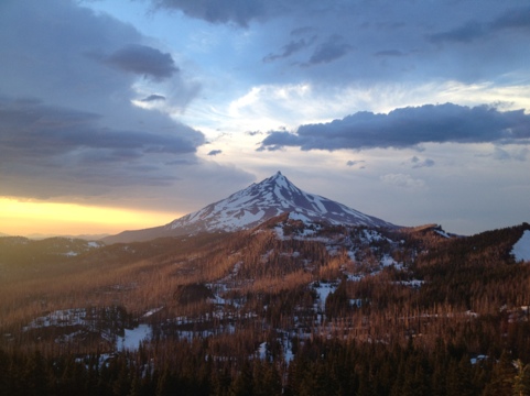
Start: A couple of miles beyond Big Lake Youth Camp
Finish: A few miles before Ollalie Lake
Distance: 48 miles (77.2 km)
Daily Average: 24 miles (38.6 km)
Total Distance: 2050.9 miles (km)
A snowflake is one of God’s most fragile creations, but look what they can do when they stick together!
– Anon
HIGHLIGHTS:
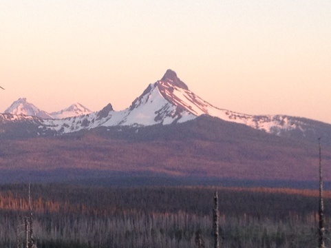
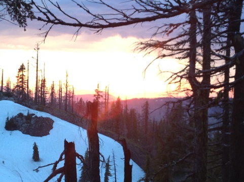
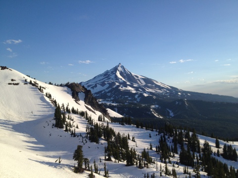
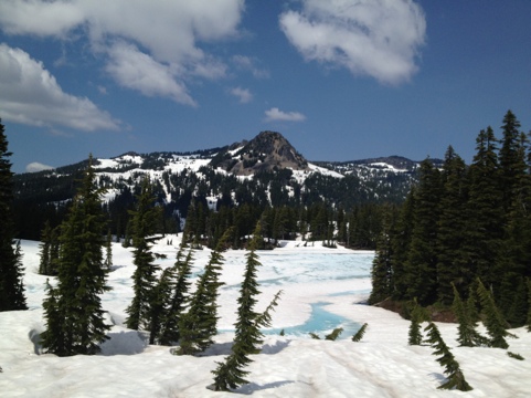
- Sublime sunrise and sunset views of Mt Jefferson. One of the highlights of the trip so far.
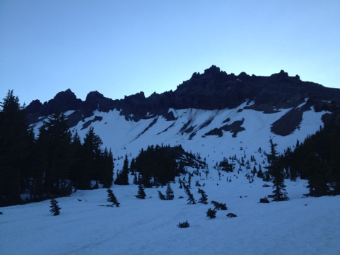
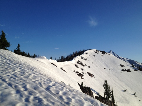
- Awesome glissading opportunities; due to the steep snow-packed slopes it was often necessary to drop down into basins and then bushwhack up the other sides.
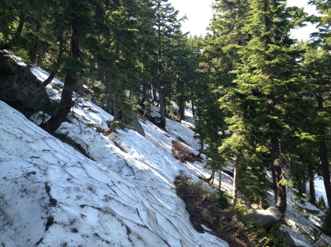
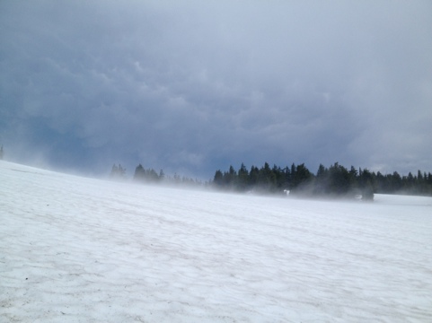
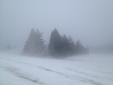
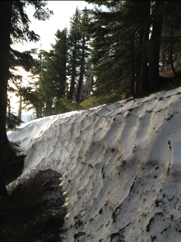
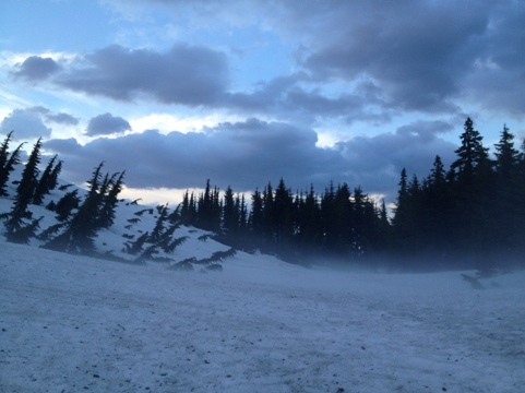
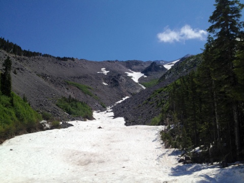
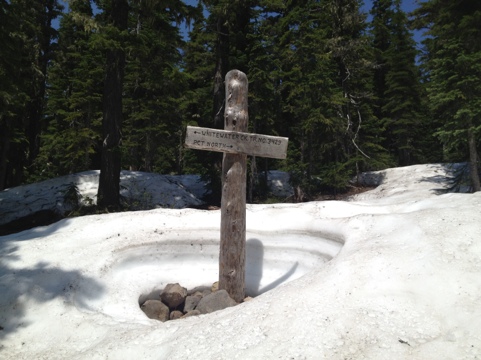
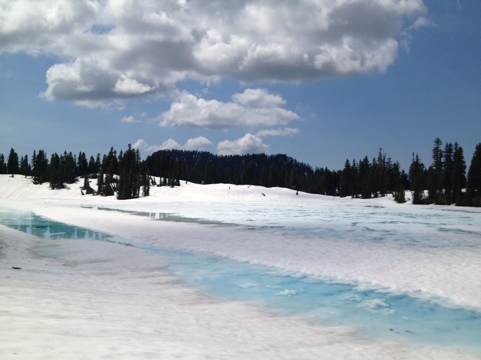
- Of the 47 trail miles between Santiam Highway and Ollalie Lake approximately 40 were under a blanket of snow. The most consistently challenging stretch of hiking in the PCT in 2012……….so far.
LOWLIGHTS:
- None. I love the challenge, solitude and unpredictability of navigating my way through trailless wilderness.
NOTES & MUSINGS:
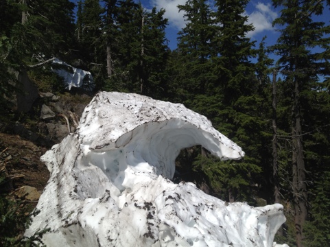
- Who would have thought there would be more snow in central Oregon in July, than in the High Sierra in late May/early June?

Discover more from The Hiking Life
Subscribe to get the latest posts sent to your email.