Peru Revisited
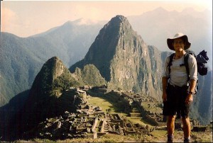
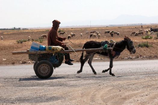
Just arrived home after spending the past five weeks in Peru. It was my second visit to the Andean nation and the first time I had been back since 1996. Whilst that previous journey was focused more on interests such Read More …
Trail Guides, Gear Reviews, and Backpacking Tips
Just arrived home after spending the past five weeks in Peru. It was my second visit to the Andean nation and the first time I had been back since 1996. Whilst that previous journey was focused more on interests such Read More …

On an upcoming trip to Peru, I’ll be taking along a prototype from Henry Shires at Tarptent. Weighing in at just over a pound and a half (including stakes), the front end is similar in design to the Tarptent Contrail. Read More …
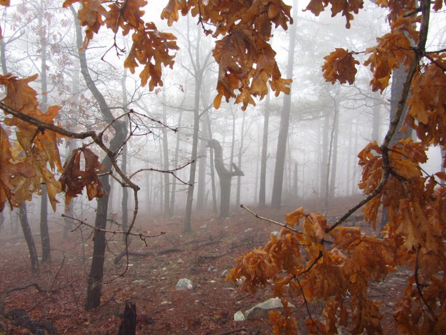
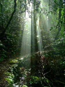
The Ouachita National Scenic Trail is a 223 mile (359 km) pathway that winds its way through the Ouachita (pronounced wa-she-ta) mountains of Oklahoma and Arkansas. Relatively little-known outside of the US long distance hiking community, it is a non-motorized Read More …
Distance: 296 miles (476 km) Avg. Time: 14-17 days Start / Finish: South – Jay Cooke State Park North – Otter Lake Road Transport: See the Transportation page on the Superior Hiking Trail Association website (SHTA). Provides up to date information on getting Read More …

You know the Pacific Crest Trail rock formation…………… You may have tried the Southern California beer……………. But apart from my Australian and New Zealand readers, I wonder how many of you have heard this classic tune by “Daddy Cool”???
When I first saw the term “Liebster Award“, I thought it was some sort of prize that Mags’ German born wife had given him for being a good hubby (i.e. Lieber translates to ‘dear’ in English). I soon discovered it Read More …
The tenth and final quote is from yours truly. The words were written some fifteen years ago during a hike in Lamington National Park. This was where I had learnt to backpack as a kid. It is one of the Read More …

In the relatively short space of 135 miles, the L2H goes from the salt flats of Death Valley (280 ft below sea level) to the summit of Mt.Whitney (14,490 ft). From a gear perspective, this means packing for everything from Read More …
I met Ryan “The Tourist” Choi on the Pacific Crest Trail in 2012. As soon as he introduced himself, I recognized the name. Ryan, along with Ben Deumling, was one of the first people to ever complete the Hayduke Trail Read More …

To the left we have the Bee Gees, mid-strut during their classic Stayin’ Alive video. To the right, we have (L to R) Bobcat, Dirtmonger and Malto striding down the road from Whitney Portal (finish of the Lowest to Highest Route). Note Read More …

I’ve always loved the ocean. Growing up on the east coast of Australia, it has been a part of my life for as long as I can remember. Swimming, fishing, diving, and yes, walking along its shores. Waves rolling in, Read More …
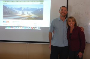
On April 11, I had the good fortune of doing a couple of presentations for an outdoor program called tHInK OutsidE. The goal of the program is to educate school kids about the wilderness, with an emphasis on LNT (Leave Read More …
“In wine there is wisdom, in beer there is strength, in water there is bacteria.” – Dave Auerbach
The latest edition (March) of Backpacker Magazine includes tips and advice from long distance hikers Matt Kirk, Heather “Anish” Anderson and yours truly. I haven’t actually seen a copy as yet. The Mexican postal service is a little slow at the Read More …
In more than two decades of hiking and backpacking, I had never had a serious case of chafe. Indeed, I occasionally made fun of hiking buddies who moaned and groaned about tender thighs or raw behinds. With a wry grin, Read More …
At a Glance Date: December 6-12 ( 6 days) Start: Batopilas Finish: Cumbres de Sinforosa Distance: 130.5 miles (210 km) Daily Average: 21.7 miles (35 km) Total Distance: 381 miles (613 km) The Highs and Lows of the CCT We reached Read More …
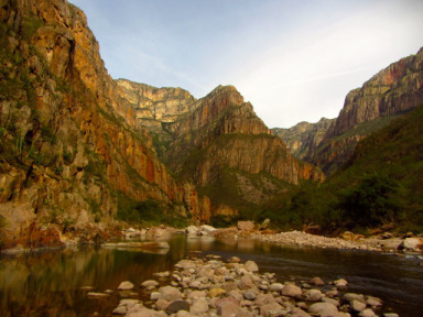
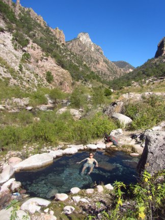
At a Glance Date: December 2-5 (3.5 days) Start: Divisadero Finish: Batopilas Distance: 65.9 miles (106 km) Daily Average: 18.8 miles (30.3 km) Total Distance: 250.4 miles (403 km) Urique High Route Leaving Divisadero, our route skirted the western rim Read More …
At a Glance Date: November 27 – 30 (3.5 days) Start: Creel Finish: Divisadero Distance: 41.5 miles (67 km) Daily Average: 11. 8 miles (19.1 km) Total Distance: 184.5 miles (297 km) The Junkie Whilst hiking out of Creel at Read More …
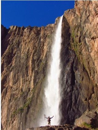
Date: November 19 – 26 (7.5 days) Start: Basaseachic Falls Finish: Creel Distance: 143 miles (230 km) Daily Average: 19.1 miles (30.7 km) Total Distance: 143 miles (230 km) The Beginning Our trip began at Basaseachic Falls (246 m / 807 ft). Located in Read More …
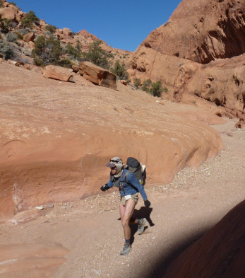
The Wave is one of the geological highlights of the southwestern United States. Located at Coyote Buttes near the Arizona/Utah border, it is a multi-coloured rock formation that is comprised of interconnected sandstone gullies. Situated amongst sentinel-like conical domes, the swirling strata Read More …