Distance: 80 km (49.7 mi) 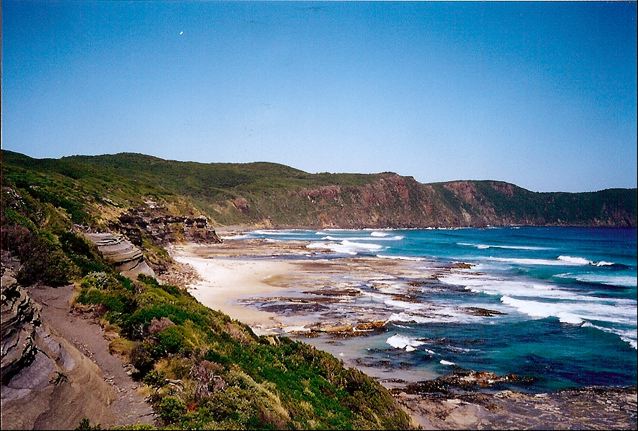
Average Time: 4 or 5 days
Difficulty: Moderate
Start / Finish:
- Cockle Creek – Melaleuca
- There is no public transport to Cockle Creek. It is possible to take a bus from Hobart to the town of Dover and from there a taxi to the trailhead (44 km).
- Melaleuca is accessible by light airplane with Par-Avion.
Season:
- November – April
- February and March represent your best chance (chuckle, chuckle) of good weather.


Maps / Info:
- Map: You can pick up either a paper copy or a digital download of the 1:100,000 South Coast Walks map from TASMAP. The hiking map can also be purchased at outdoor stores throughout Tasmania.
- Guidebook: John Chapman’s South Coast Track (2nd Edition) and South West Tasmania (6th Edition) include maps, trekking notes, flora and fauna information, and logistical details.
- GPS: See AllTrails for GPX data for the trail (plus the Port Davey Track extension).


Route / Conditions:
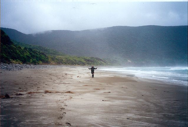
- The weather in South West Tasmania is amongst the wildest and most unpredictable on the planet. Be sure to bring good waterproofs and warm clothing.
- There are some very muddy sections on this hike, although in recent years increased boarding and track development has made the South Coast Track a much less boggy proposition than it once was. Nonetheless, this is Tasmania and gaiters are definitely recommended.
- The trail is relatively easy from a navigational perspective.
- The high-level section over the Ironbound range is quite exposed and care must be taken during storms.
- One of the cool things about this hike is the rowboat crossing of New River Lagoon. This was actually the first time I had ever rowed a boat, and to this day my cousin Wade, with whom I did this trek, takes great pleasure in reminding me how ordinary/comical/haphazard my rowing efforts were.


Sleeping:
- Bring a tent. Be sure that it holds up well in a storm.
Overview:
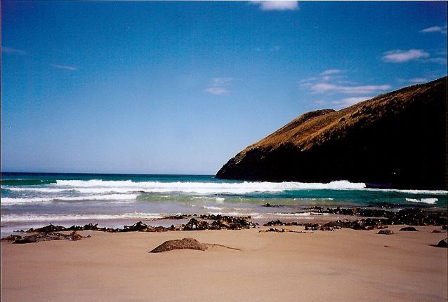
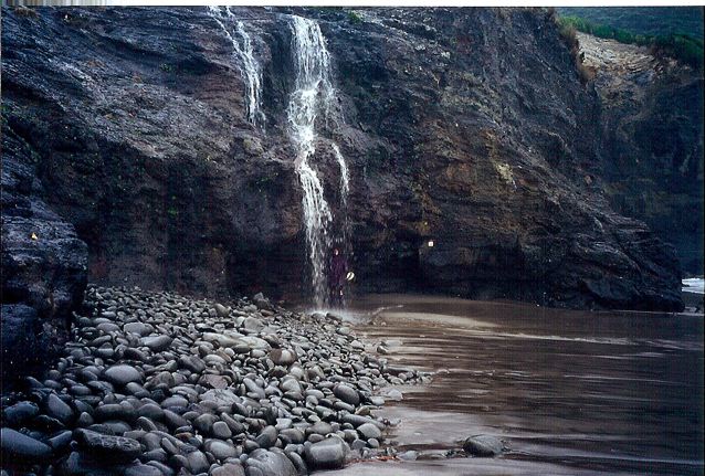
- Great hike. Rugged mountains, pristine beaches, wonderful views and at times challenging terrain.
- Due to time restrictions/work commitments, we had to finish our hike in Melaleuca (from where we got a flight). With more time on your hands, I would recommend linking this trail up with the Port Davey trek, which adds a further 75 km to your walk and finishes at the road accessible Scott Peaks Dam.

Discover more from The Hiking Life
Subscribe to get the latest posts sent to your email.