Distance : 71.5 miles (115 km) approx.
Average Time : 6 or 7 days (8 or 9 including side trips).
Start / Finish :
- Guarderia Laguna Amarga – Lago del Toro Administration Centre.
- See www.torresdelpaine.com for an overview of transport options to and from the trailheads.
Difficulty: Moderate
Season :
- November to April.
- Peak season is January and February, during which time the huts are often full.
Maps / Info :
- I did this trek in 1997 using the trekking notes and map contained in Lonely Planet’s Trekking in the Patagonian Andes. The most recent edition of this excellent guidebook came out in November 2009.
- If you are looking for more detail, try the widely available JLM Mapas Topographical map 1:100,000 Torres Del Paine Trekking Map.
- Buy all your supplies in Puerto Natales, as food options in the park are limited and by no means cheap.
- Water is generally ok to drink throughout the national park. If in doubt, check with the hut wardens.
Route / Conditions :
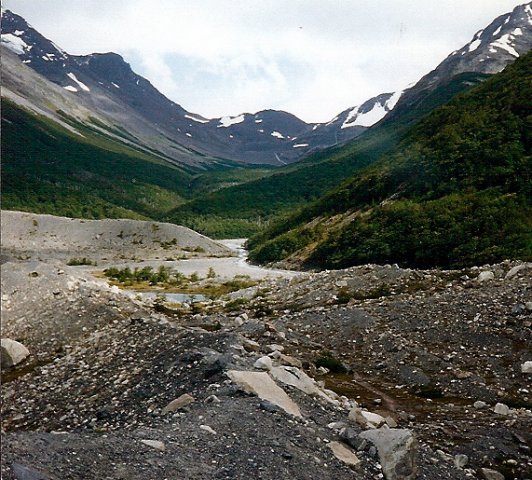
- The trail is well marked and easy to follow from start to finish.
- Pack for inclement weather. High winds are probable, heavy rain is likely and snow is a possibility.


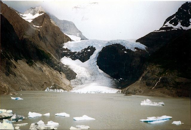
- The views of Grey glacier upon reaching Paso John Garner are a scenic highlight. If you are not being blown away by the winds, this is a fantastic spot to take a break.
- There are two highly recommended side-trips: 1.Torres del Paine lookout -20km return, and; 2. Campamiento Britanico – 34km return.


Sleeping :
- Huts or camping.
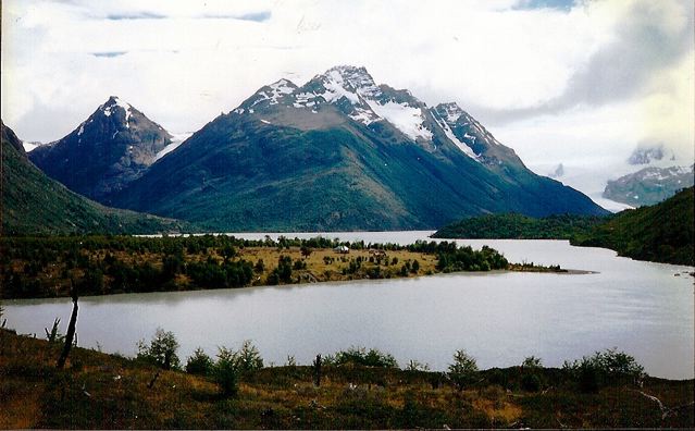
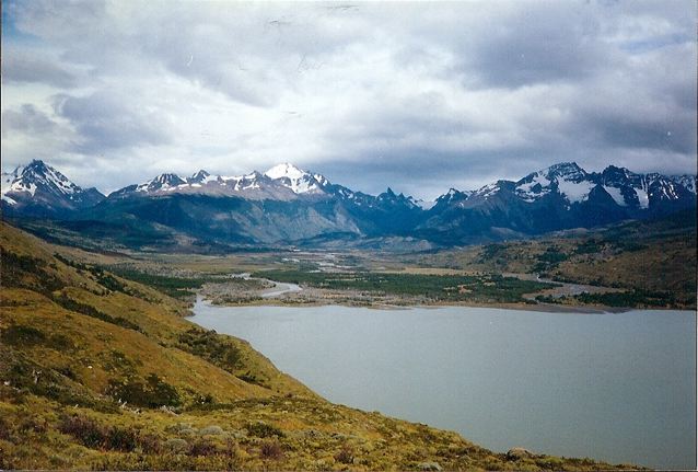
Overview :
- Scenically stunning throughout, the Paine Circuit is justifiably the most popular multi-day hike in Chile.
- I recommend hiking outside of the January/February period in order to avoid the crowds.


Discover more from The Hiking Life
Subscribe to get the latest posts sent to your email.