Distance: 39km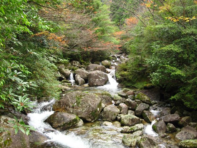
Average Time: 2 – 3 days
Difficulty: Easy
Start / Finish:
- Onoaida onsen – Shiratani Unsuikyo or Kusagawa.
- The hike takes place on the island of Yakushima. For transport to and from the island, as well as local transport information, see the following link: http://wikitravel.org/en/Yakushima
Season: Year-round.
Maps / Info:
- Yama-Kogen series, 1:50, 000 [#59] Yakushima. The entire series of Yama-Kogen Topographic maps are widely available in bookstores throughout Japan.
- Lonely planet’s Hiking in Japan (2009) contains a description of the route and a basic map.

Route / Conditions:
- For the first stage of this hike, from Onoaida onsen to Yodogo Tozan-guchi, the topographical map is very useful. Muddy, steep and in November of 2009, very overgrown. All of the signs on this section are exclusively in Japanese.
- Once you have reached the carpark/trailhead at Yodogo Tozan-guchi, the trail is easy to follow and very well marked, often with English translations and hiking times.
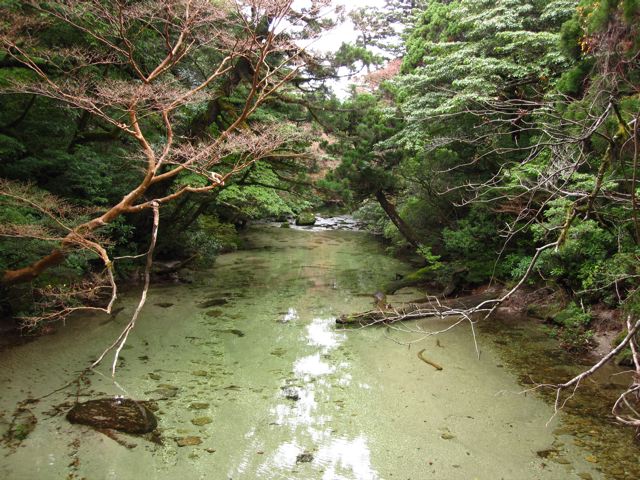
- Regular water sources throughout the trek. Note that the topo map does not show many of the small streams which you pass during the climb up from Onoaida. No need to carry more than a couple of litres at any one time.

Sleeping:
- If you get a late start from Onoaida, your options are very limited. There are no good camping spots until you are close to the Tai-no-ko river, some 8km of climbing from the trailhead. The one “unofficial” place where you could sleep is a sturdy open-sided shelter situated some 4km from Onoaida, at the trail junction for the Janokuchi-daki (waterfall).
- Once past Yodogo Tozan-guchi, there are mountain huts. From all reports these shelters can be quite busy in summer.
- Camping is possible close to the huts.


Overview:
- Highlights are the impressive Janokuchi-daki (waterfall), the views from the islands numerous peaks and crest, and the incredible giant cedars (Yaku-sugi). These ancient trees are located mostly in the section between Takatsuka-goya (hut) and Shiratani Unsuikyo.
Discover more from The Hiking Life
Subscribe to get the latest posts sent to your email.