The Hornstrandir Peninsula is Iceland’s most remote wilderness region. Located in the rugged Westfjords, this pristine nature reserve has no roads, no permanent residents (at least of the bipedal variety), and is accessible only by boat during the summer. While it may not be the easiest place to reach, those who make the journey are rewarded with a magical landscape of dramatic sea cliffs, lonely peaks, and primeval tundra.The flora and fauna is equally impressive, with an exceptional variety of plant life, along with vast seabird colonies and an abundance of arctic foxes. It’s one of my favourite places in Iceland—and considering the strength of the competition, that’s saying quite a bit!
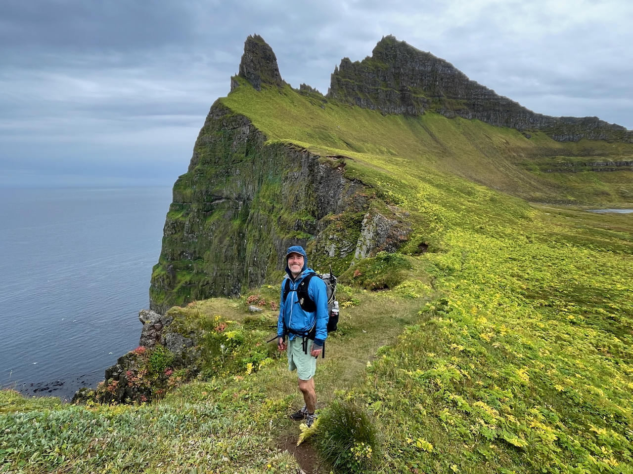
The sea cliffs of Hornstrandir are a nesting ground for thousands of seabirds, including puffins, guillemots, razorbills, kittiwakes, and fulmars (photo by Kate Pickett).
Note: I visited Hornstrandir in 2023 with Kate Pickett as part of an extended trip in Iceland. The journey also included double-digit hot springs, a Eurovision pilgrimage, a detour to the Apollo training sites,and a north-to-south traverse of the country from Hraunhafnartangi Lighthouse to Dyrhólaey Lighthouse.
At a Glance
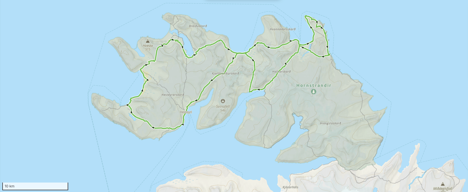
Distance: Approx. 120 km (75 mi) (including side trips)
Duration: 6 days
Difficulty Level: Moderate
Total Elevation Gain: 4,271 m (14,012 ft)
Start/Finish: Hesteyri
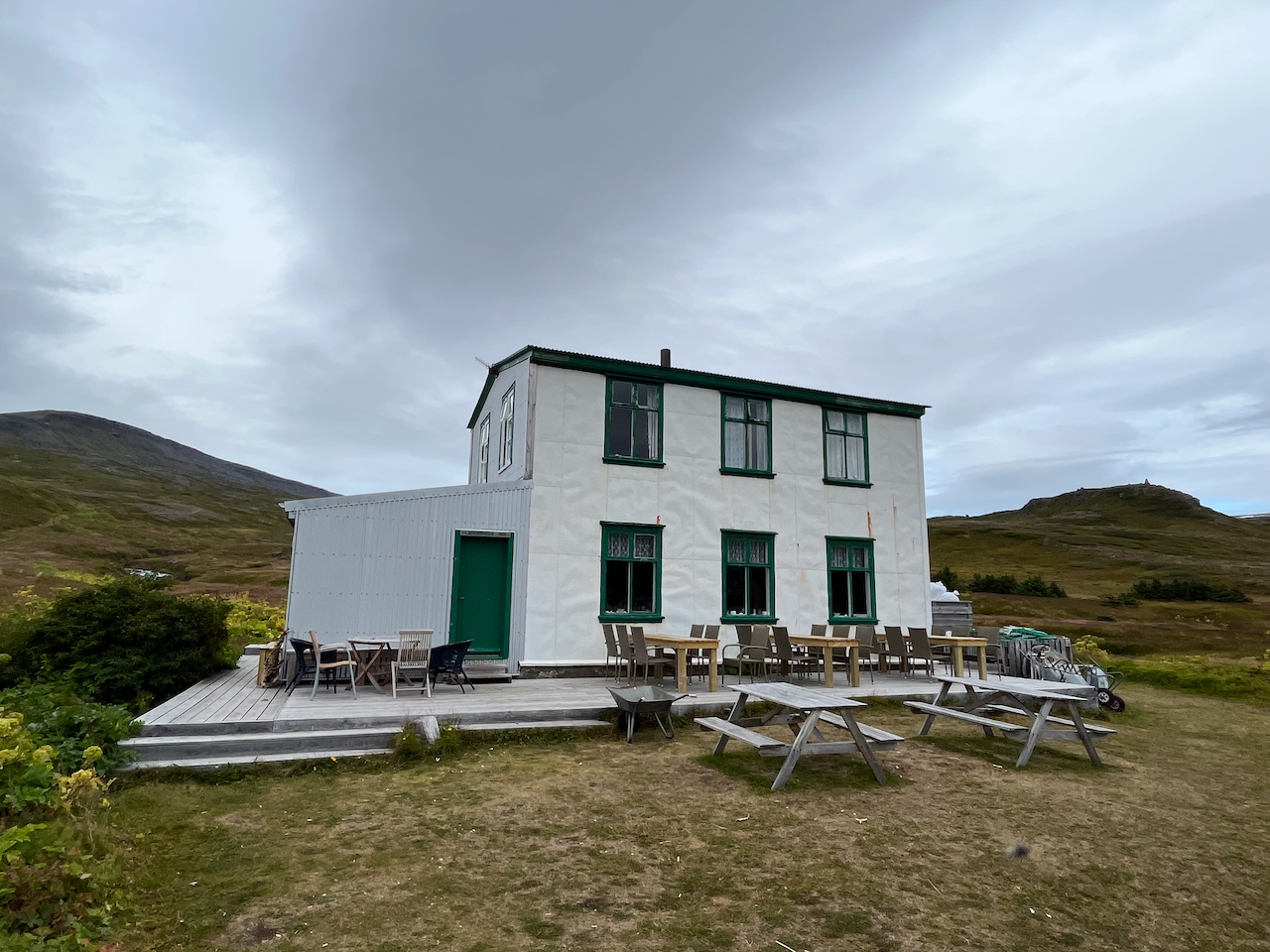
The Old Doctor’s House in Hesteyri – starting and finishing point of our Hornstrandir hike. The 100-year-old cafe and guesthouse, is typically open from mid-June to the end of August, and makes for a very welcome refuge from the peninsula’s often stormy weather.
Planning Information:
- Getting There & Away: During the summer, Hornstrandir is typically accessed via passenger ferries from the town of Ísafjörður (about an hour each way). Besides Hesteyri, you can also start or finish your trek at Veiðileysufjörður, Látravík, or Hornvík. Be sure to book in advance (including your return journey), as seats are limited. Note that services are sometimes canceled due to dodgy weather, so ideally you should have a little flexibility in your itinerary (and perhaps an extra day’s food).
- Season: June to early September. The go-to source for weather info when hiking in Iceland is the Icelandic Met Offices official website (Tip: Download their excellent app before setting out).
- Permits & Fees: No permits required.
- Online Resources: 1. Environmental Agency of Iceland (Hornstrandir) 2. Westfjords Hornstrandir Guide; 3. Epic Iceland’s Hornstrandir Guide; 4. Alltrails; 5. Lisa Germany’s blog, and; 6. Kraig Adams (Youtube).
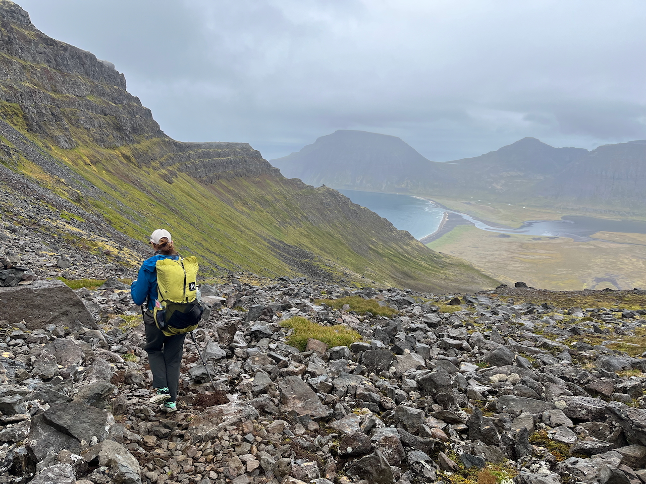
Kate descending from Atlaskara pass to Hornvik.
- Navigation – GPS and Maps: I pieced together our route on GaiaGPS. Additionally, we carried the Hornstrandir 1:100,000/1:55,000 topographic hiking map (Sérkort 9) which we picked up in Reykjavik.
- Water: Ample and pristine. You shouldn’t have to carry more than half a liter. We didn’t filter and had no issues.
- Food: Bring all food with you from the start, as there’s nowhere to purchase items along the way (except the Old Doctor’s House). Along with some food we brought to Iceland from overseas, we purchased most of our backpacking provisions – both for Hornstrandir and the Iceland Traverse – at the excellent Bonus Supermarket in downtown Reykjavik.
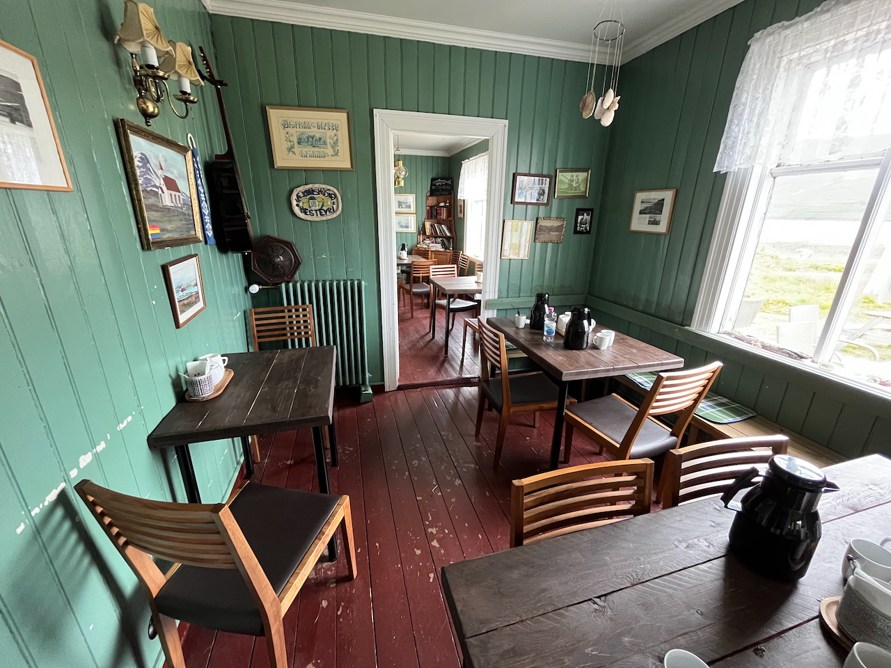
The cozy interiors of the Old Doctor’s House.
Accommodation:
- Camping: There are 16 designated campsites around the Hornstrandir Peninsula. Unlike most of Iceland, wild camping outside of these areas is not permitted.
- Indoor Options: 1. Old Doctor’s House – Historic guesthouse and café in the abandoned village of Hesteyri. Good crepes, pancakes, and hot chocolate; 2. Hornbjargsviti – Lighthouse-adjacent accommodation on Hornstrandir’s northeast shore with bunk beds and a campsite (66.41067, -22.37934), and; 3. Reykjarfjörður – Unfortunately I didn’t see this one. Located in the far southeast of the peninsula, it has basic sleeping-bag lodging, and a geothermal pool and hot tub (6.25813, -22.08849).
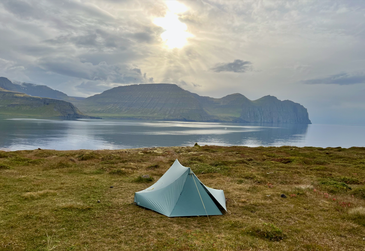
Horn Campsite on the peninsula’s northern coast (Shelter – Tarptent Stratospire 2).
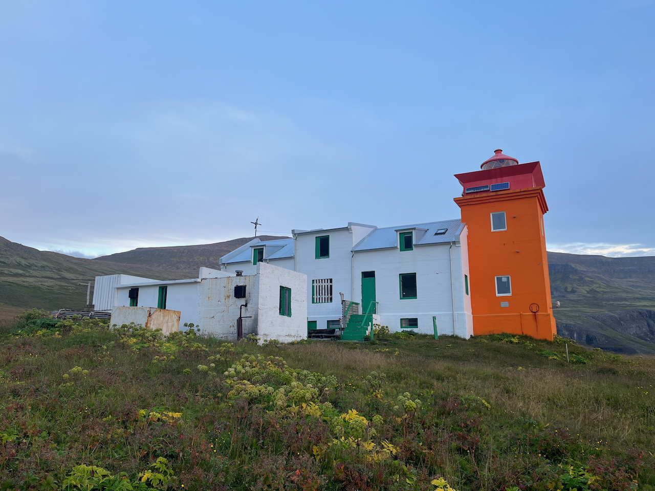
Hornbjargsviti Lighthouse
Five Facts about Hornstrandir
1. From Remote Outpost to Nature Reserve: The last permanent residents left Hornstrandir in the 1950s. The peninsula’s traditional livelihoods of farming and fishing had become increasingly difficult to sustain, while job opportunities and access to modern services drew folks to larger settlements. The population decline accelerated after the collapse of the salt-fish market in the 1930s and the closure of the herring station at Hesteyri in the 1940s. In 1975, the Hornstrandir Peninsula was declared a nature reserve.
2. Colourful Holiday Homes (Big and Small): Some of the former inhabitants descendants still own and maintain their family houses, which they use as summer homes. We passed by a handful of these characterful cottages during our trip.
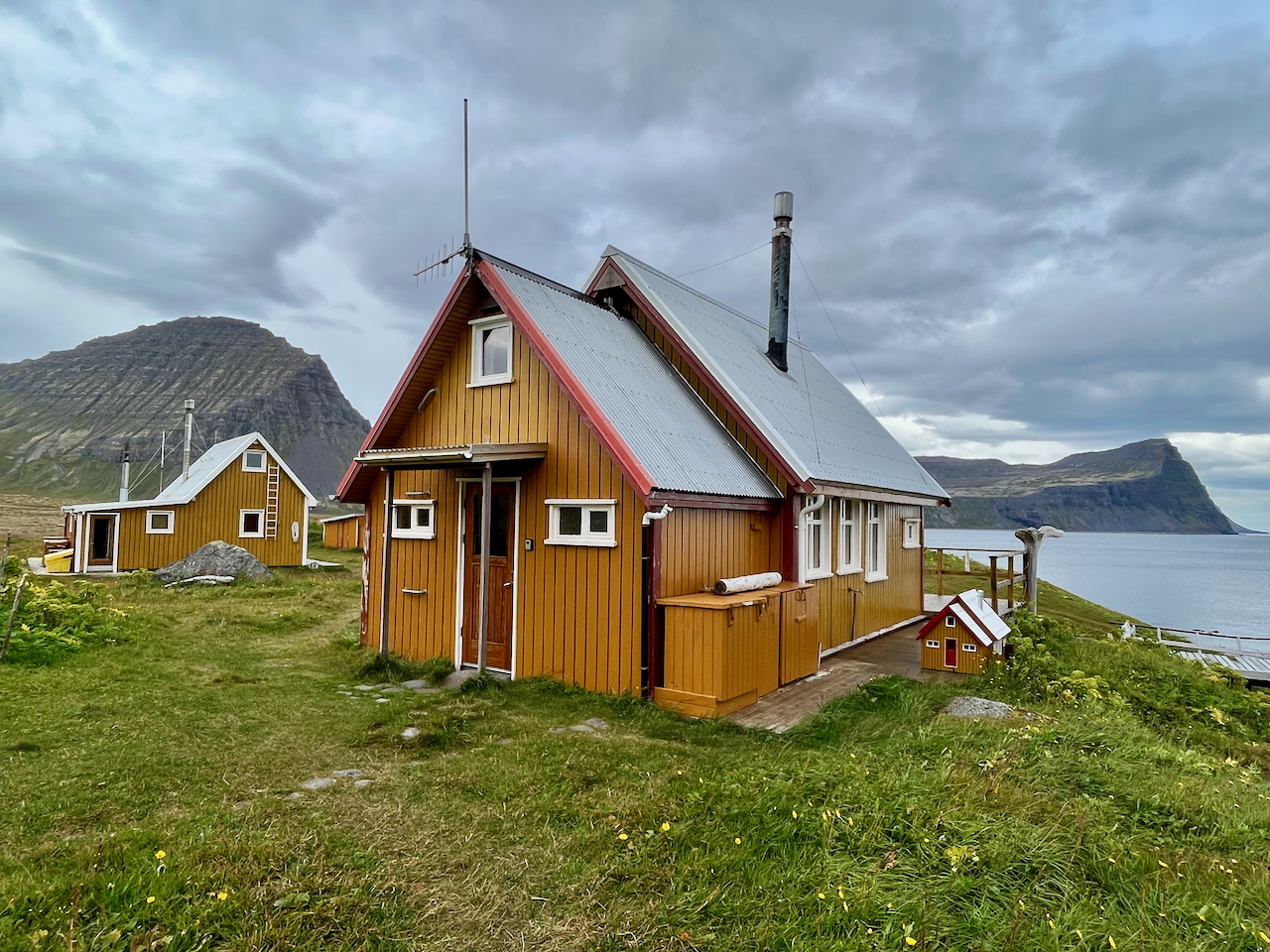
Well-maintained cottage on the northern coast.
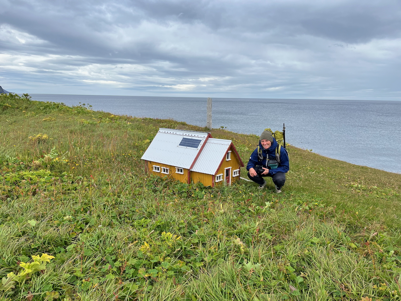
Adjacent replica (alfhól) built for the little folk (Huldufólk).
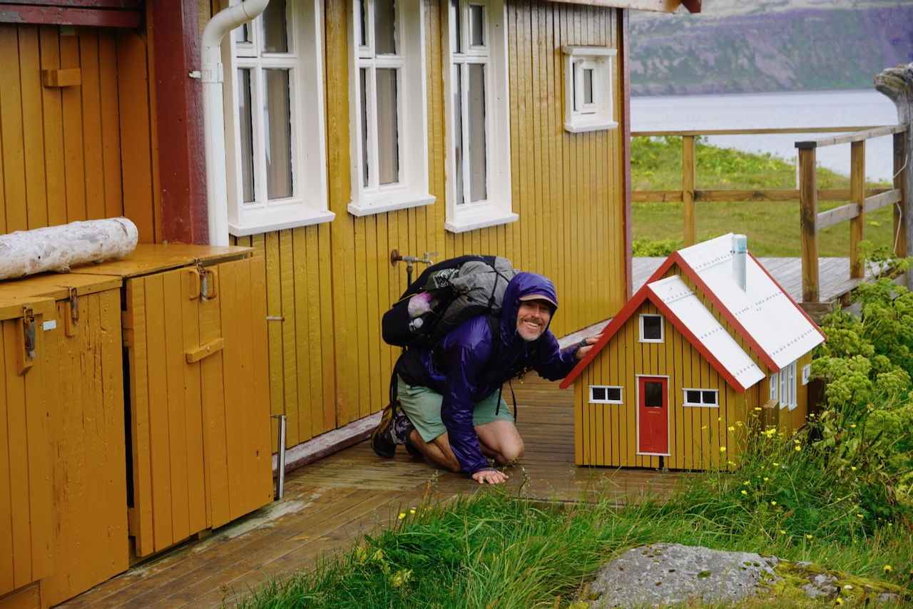
This cottage had a bonus alfhól! (photo by Kate Pickett)
3. The Flora of Hornstrandir: Although the wildlife gets most of the attention (see below), Hornstrandir’s flora is also impressive. With no grazing for more than half a century, the peninsula supports remarkable botanical diversity. More than 260 species of vascular plants have been recorded within the nature reserve, including Arctic lupine, angelica, crowberry, bilberry and bog rosemary
4. A Stronghold for Seabirds: Hornstrandir’s sea cliffs are among Iceland’s most important seabird breeding areas. At Hornbjarg, the cliffs tower more than 500 metres above the sea and support large summer colonies of guillemots, razorbills, fulmars and kittiwakes. The birds nest on ledges and narrow shelves along the cliffs, often just below the hiking trails.
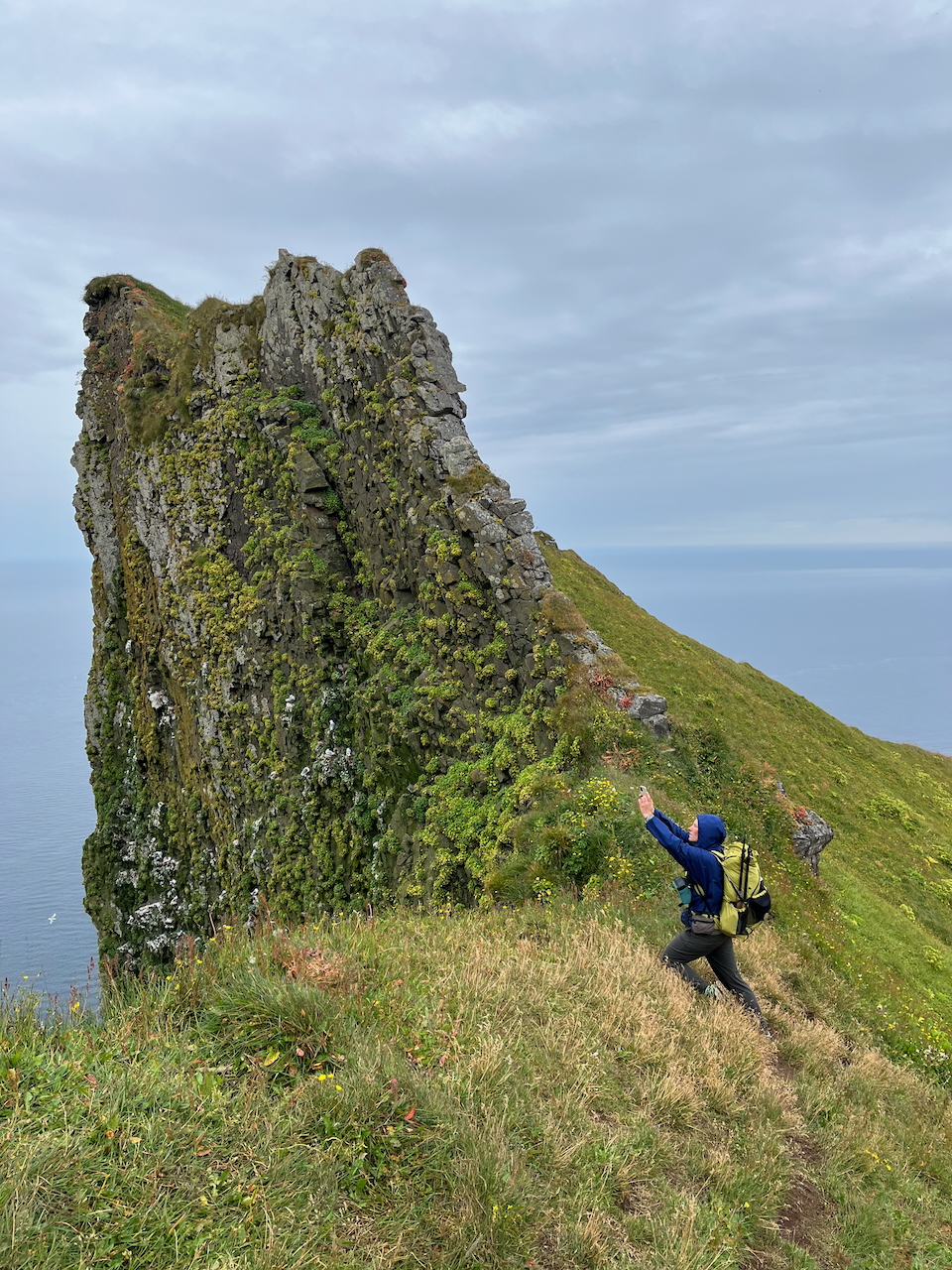
This moss-laden rock face was home to hundreds of nesting birds. Watching them fly in and out, with their collective calls echoing across the cliffs and out to sea, was one of the highlights of the hike—both visually and audibly!
5. Land of the Arctic Foxes: Hornstrandir’s most famous inhabitants are its arctic foxes, Iceland’s only native land mammal. Arctic foxes occur in two main colour morphs: blue and white. In Iceland, the blue morph is by far the more common, accounting for around two-thirds of the population. These foxes have brown-grey or slate-coloured coats that remain dark through winter, while the white morph develops the more familiar snow-coloured coat (more commonly seen in other Arctic regions such as Greenland, Svalbard, Canada, and Siberia).
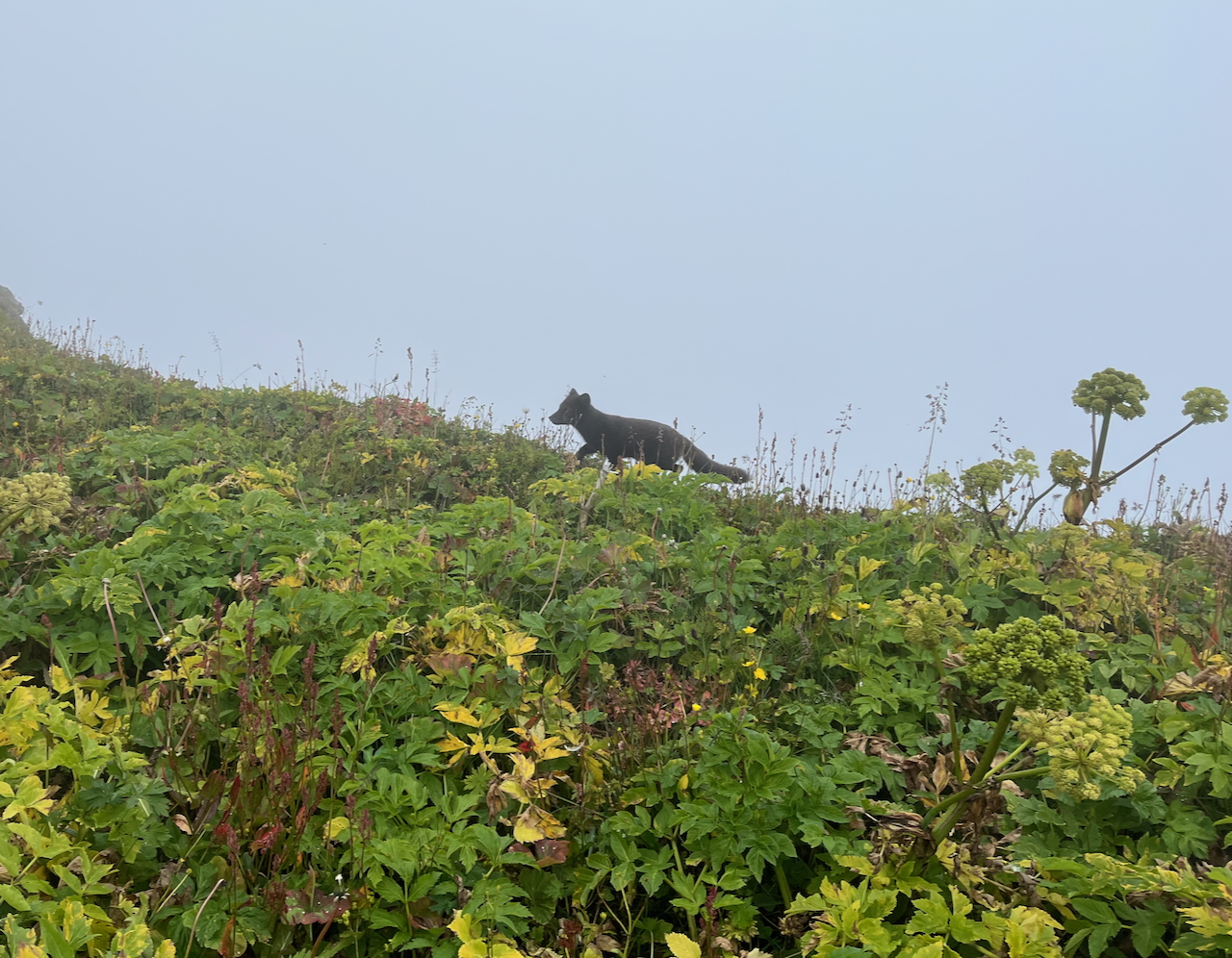
Emerging from the mist and cliffside vegetation………
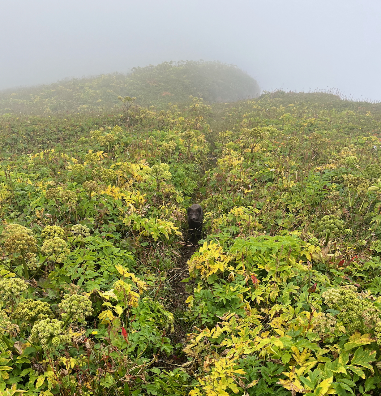
……..this curious little arctic fox joined us for a short stretch just south of the Hornbjarg.
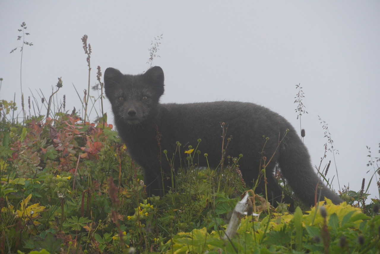
Photo taken by Kate with the Sony A6400 (with an 18-135 mm lens).
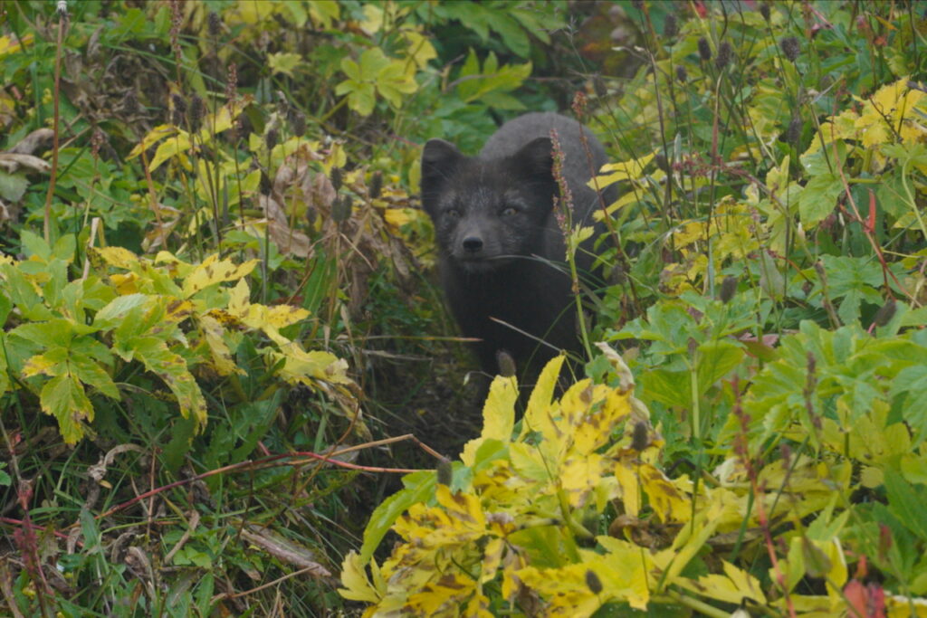
Photo taken by Kate with the Sony A6400 (with an 18-135 mm lens).
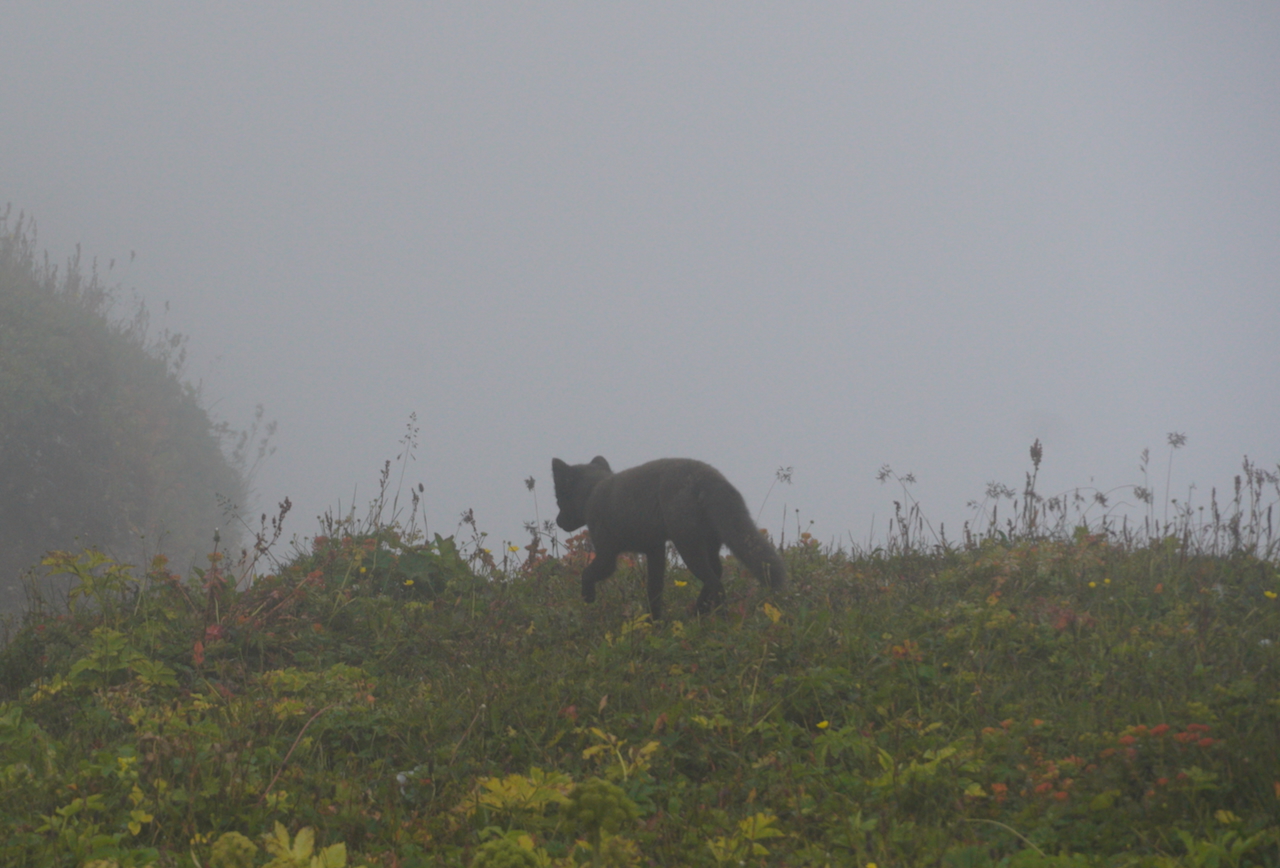
“Catch you later. I’m getting out of the rain.” (Photo by Kate).
Route Overview
- Direction: Beginning and ending in Hesteyri, we did the approximately 120 km (75 mi) journey in a clockwise direction over six days – a few of which were abbreviated because of travel and/or weather.
- Tread: The route was a mixture of established trails, cross-country, coastal rock-hopping, and beach walking. Most of it was fairly straightforward, with the toughest stretch possibly being Hlöðuvíkurskarð Pass in stormy conditions on the final morning.
- Weather: Speaking of which, on the meteorological front we had a mixed bag. Not a lot of sunshine, but overall we were fortunate in that the heaviest storms occurred at night. On that note, the Tarptent Stratospire was solid as a rock both in Hornstrandir and on the subsequent Iceland Traverse.
- Fellow Ramblers: With the exception of the area around Hornvik Campsite on Day 3, we only saw a handful of other folks during our trip.
Day 1: Hesteyri to Tjaldsvæði Látrum
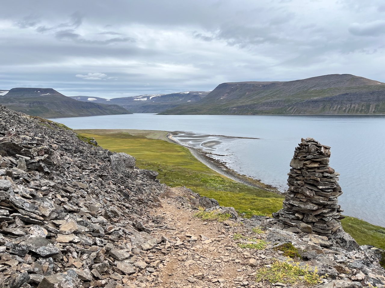
Day 1 – Leaving Hesteyri and Hesteyrarfjordur
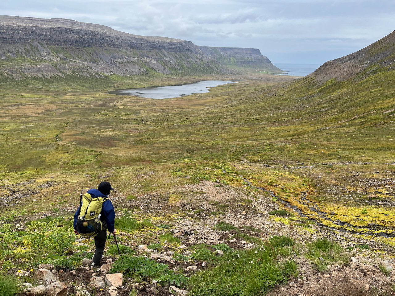
Day 1 – Descending toward Staðarvatn Lake.
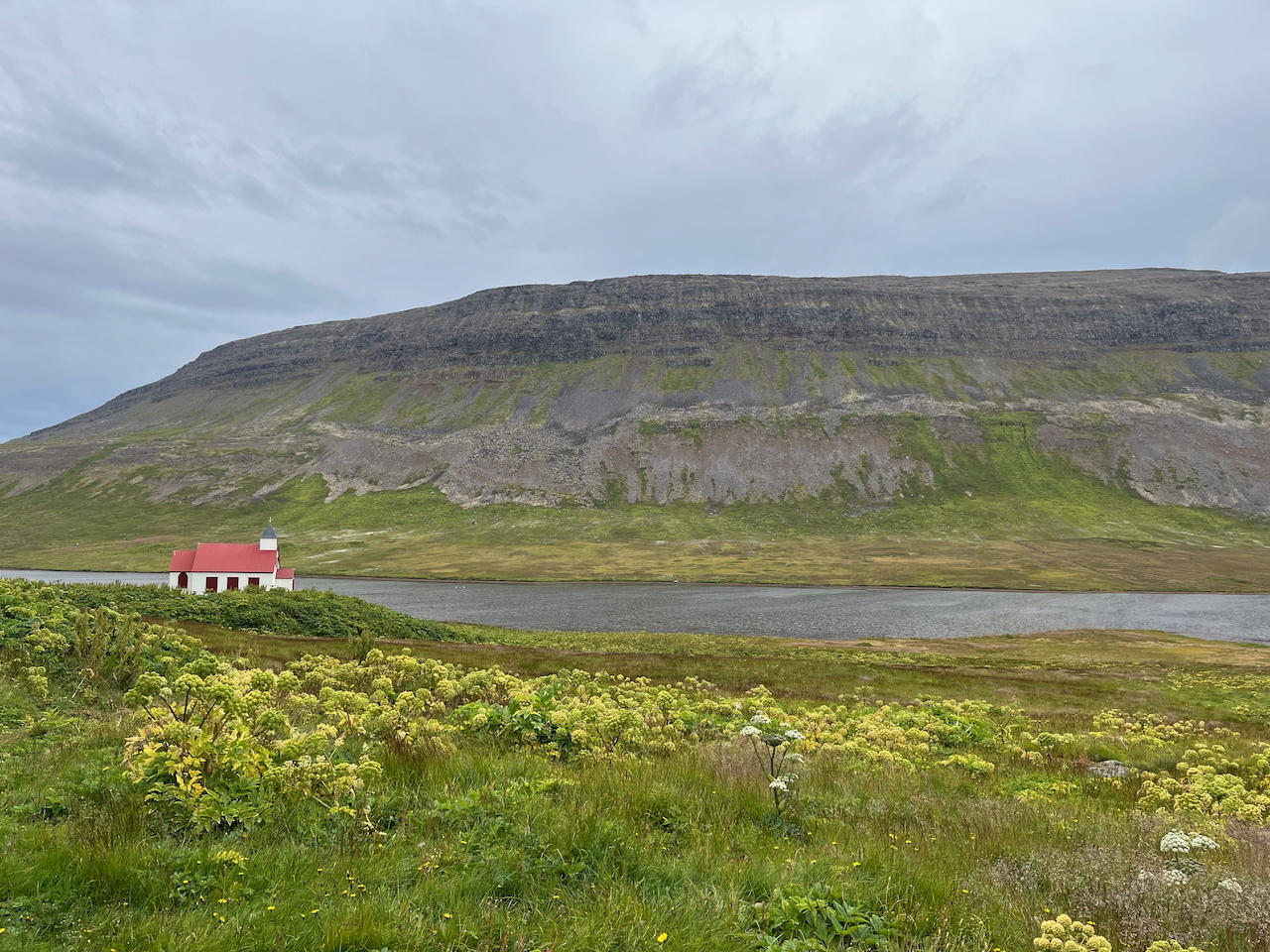
Day 1 – Red-roofed cottage on Staðarvatn Lake.
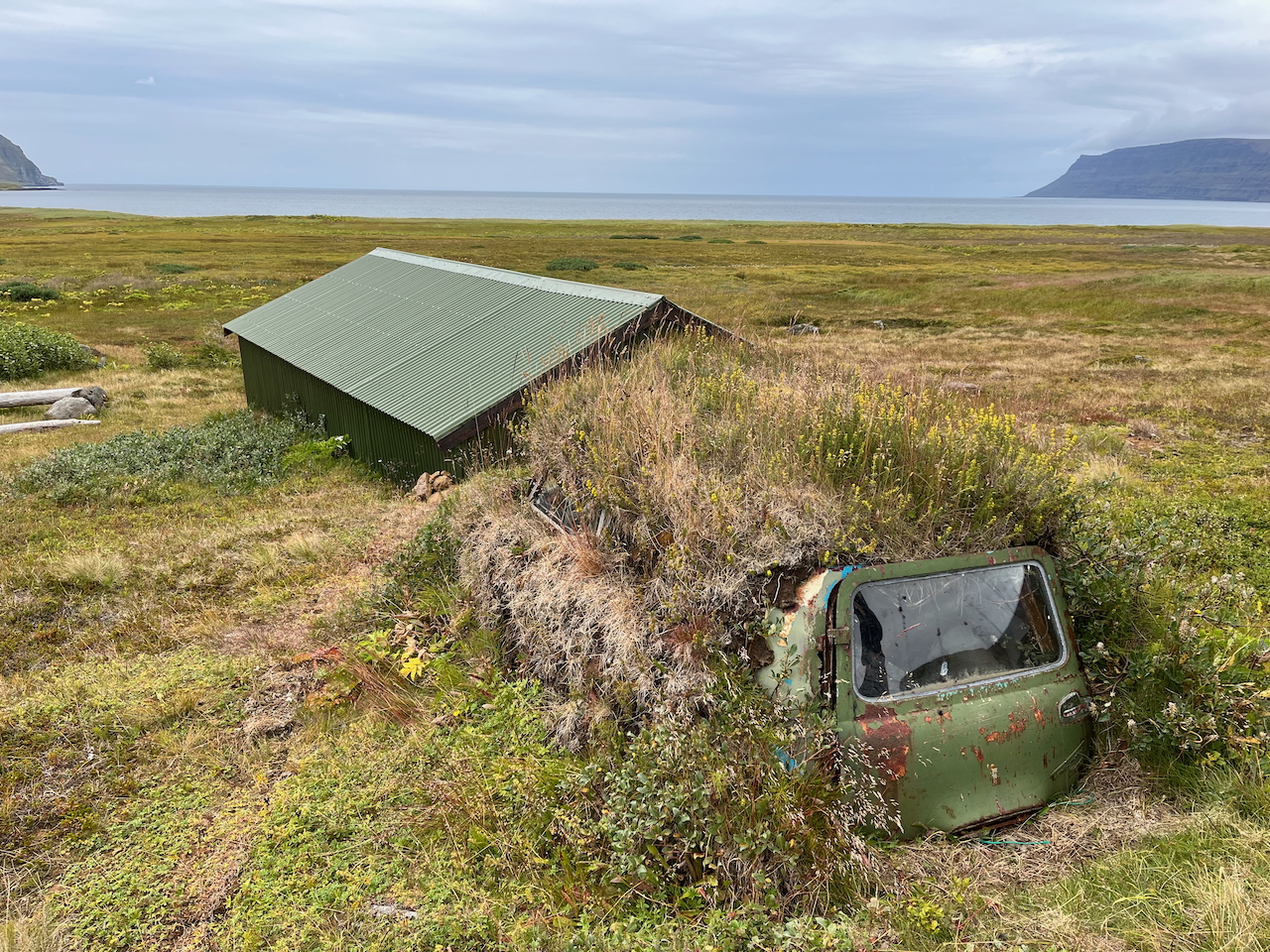
Day 1 – What happens to abandoned cars in Iceland.
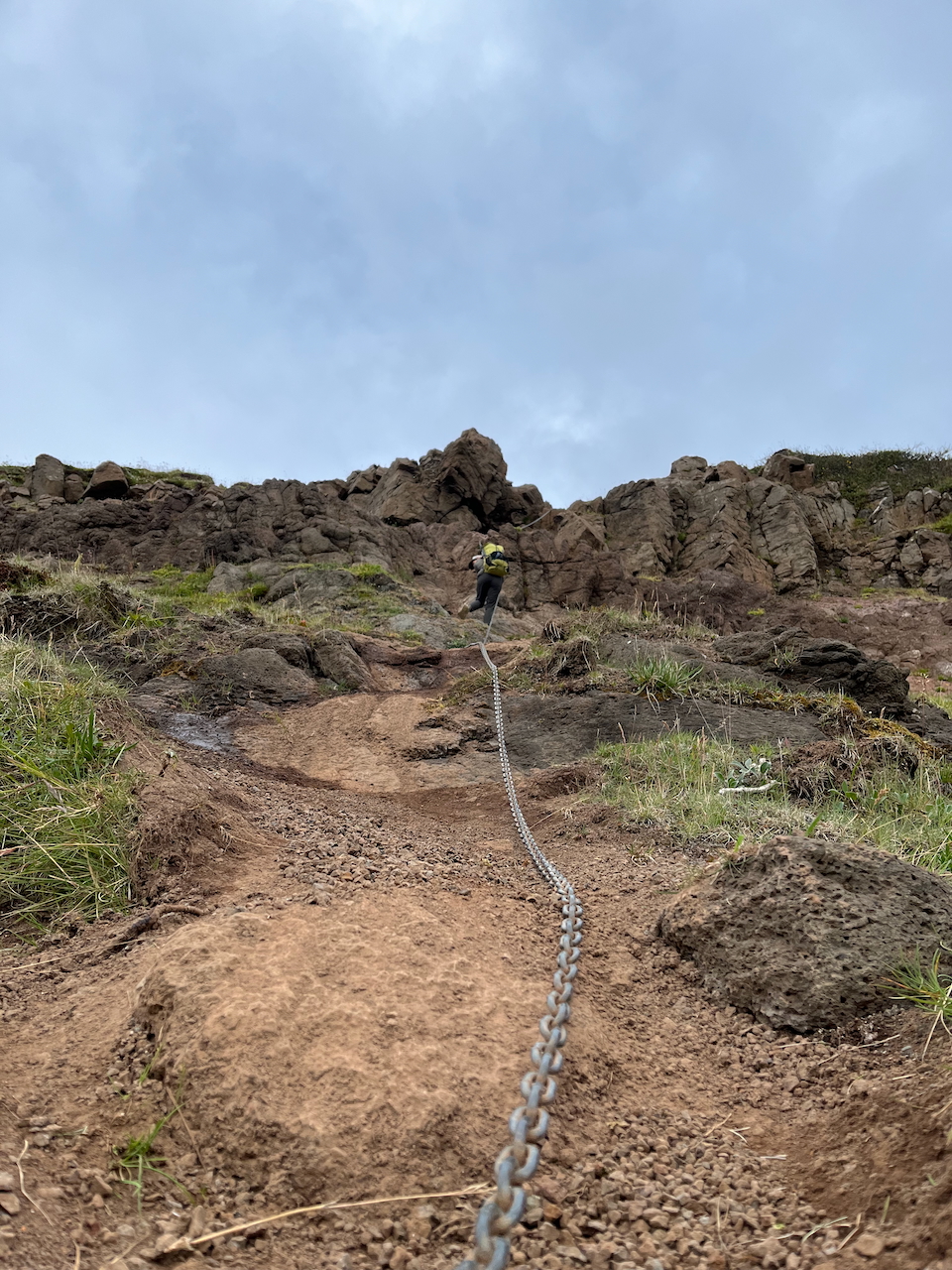
Day 1 – Descending from cliffs to coast northwest of Saebol Camp (66.35038, -23.06163).
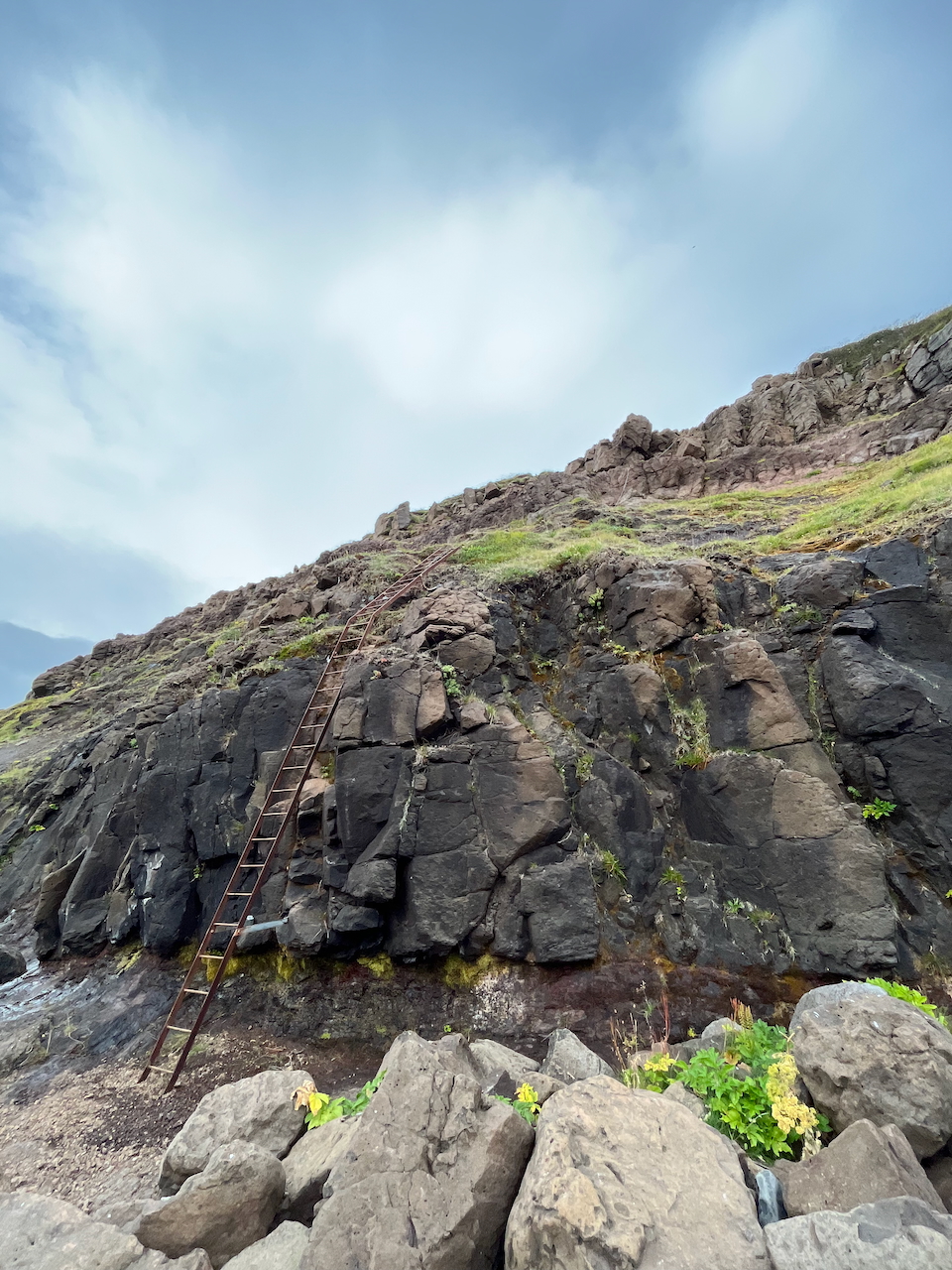
Day 1 – The last part of the downclimb was on a shaky ladder.
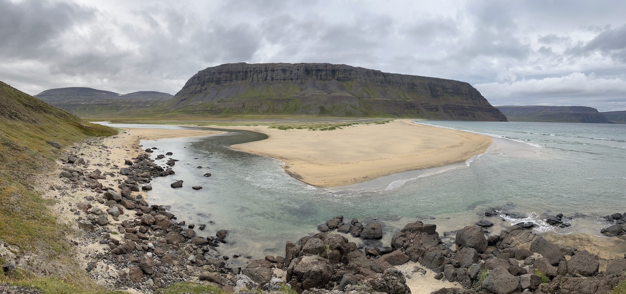
Day 1 – Gazing south toward Hvarfnúpur and Aðalvík bay.
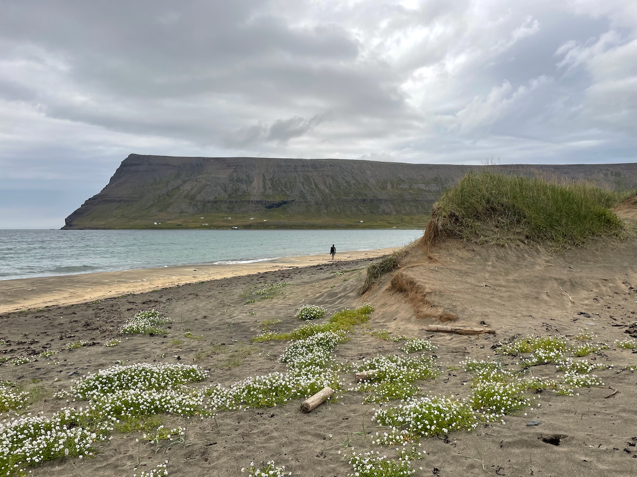
Day 1 – Nearing our first night campsite at Tjaldsvæði Látrum.
Day 2: Tjaldsvæði Látrum to Hlöðuvík Bay
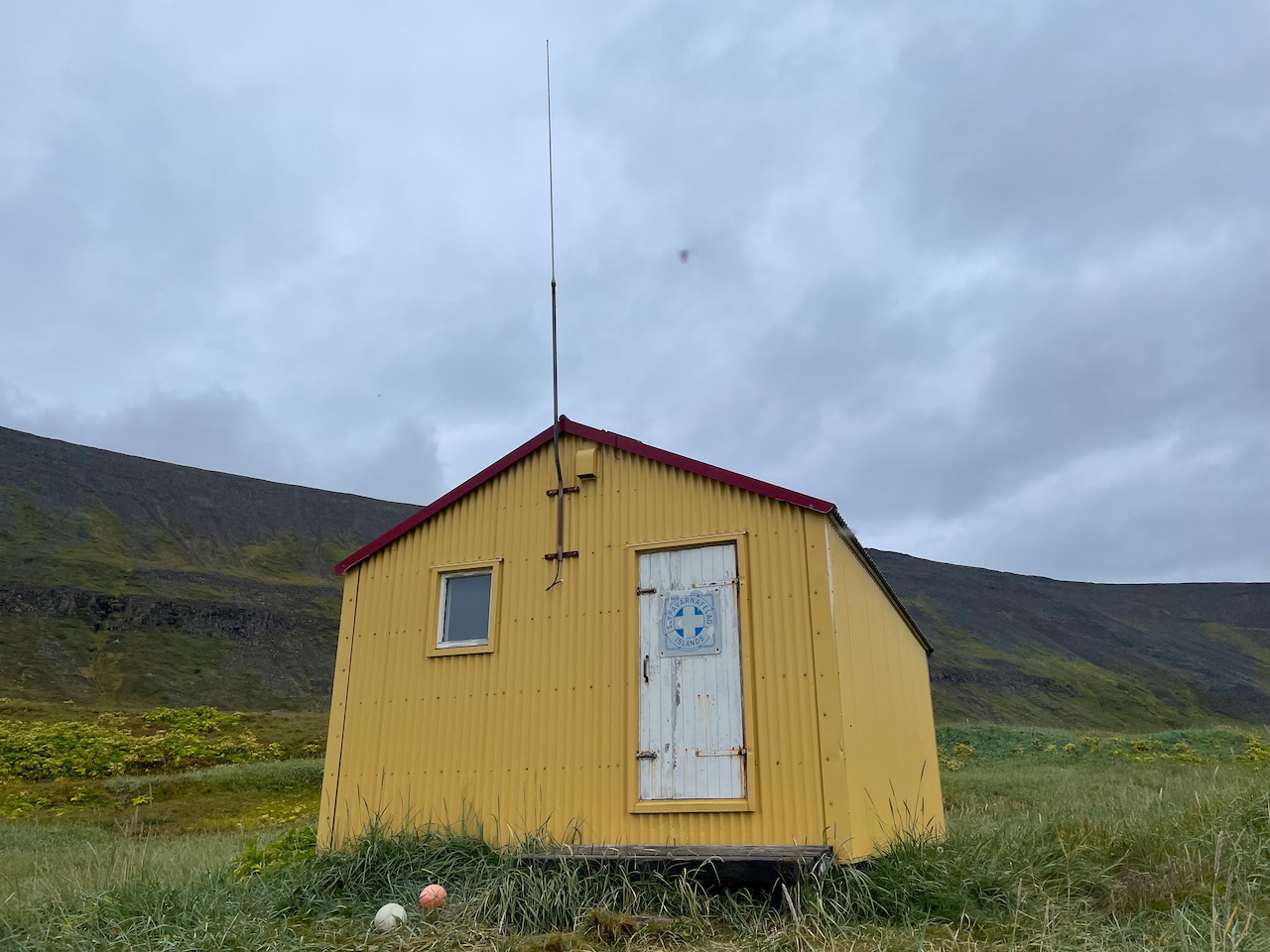
Day 2: Emergency hut at Tjaldsvæði Látrum.
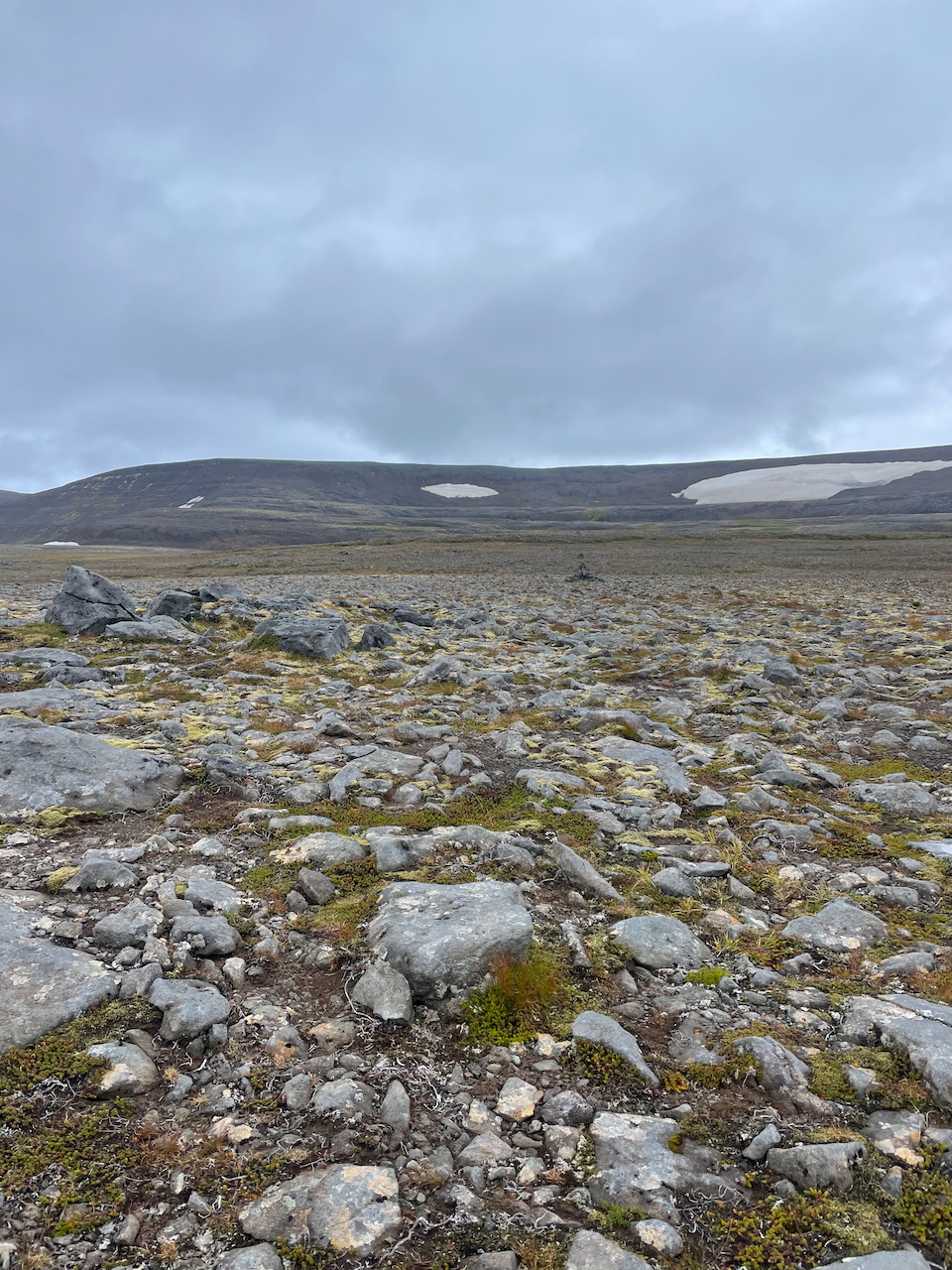
Day 2: Crossing a rocky plateau northeast of Tjaldsvæði Látrum.
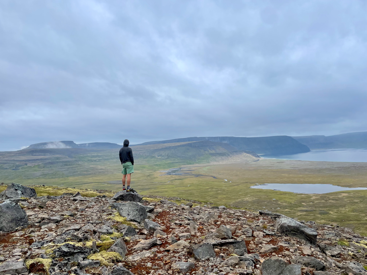
Day 2: Looking back toward Aðalvík bay (Photo by Kate Pickett).
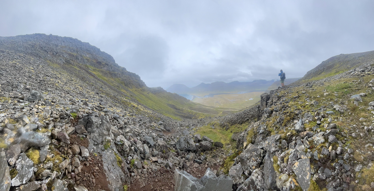
Day 2: Descending toward Fljótavik Bay (Photo by Kate Pickett).
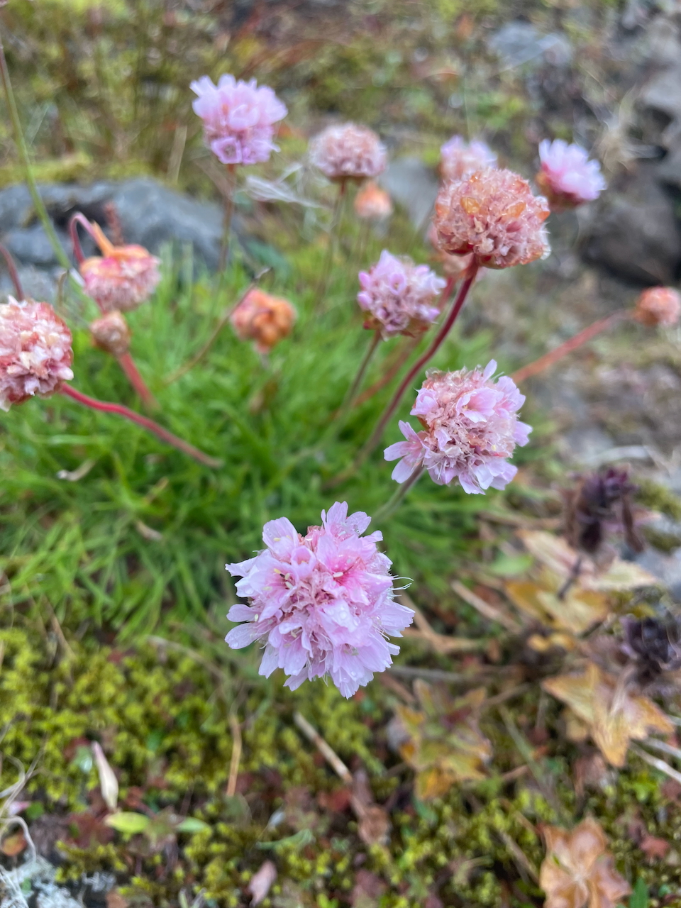
Sea Thrift (Armeria maritima – photo by Kate Pickett)
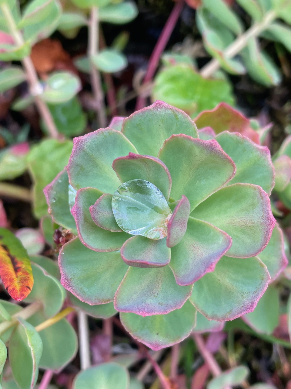
Arctic Root (Rhodiola rosea – Photo by Kate Pickett)
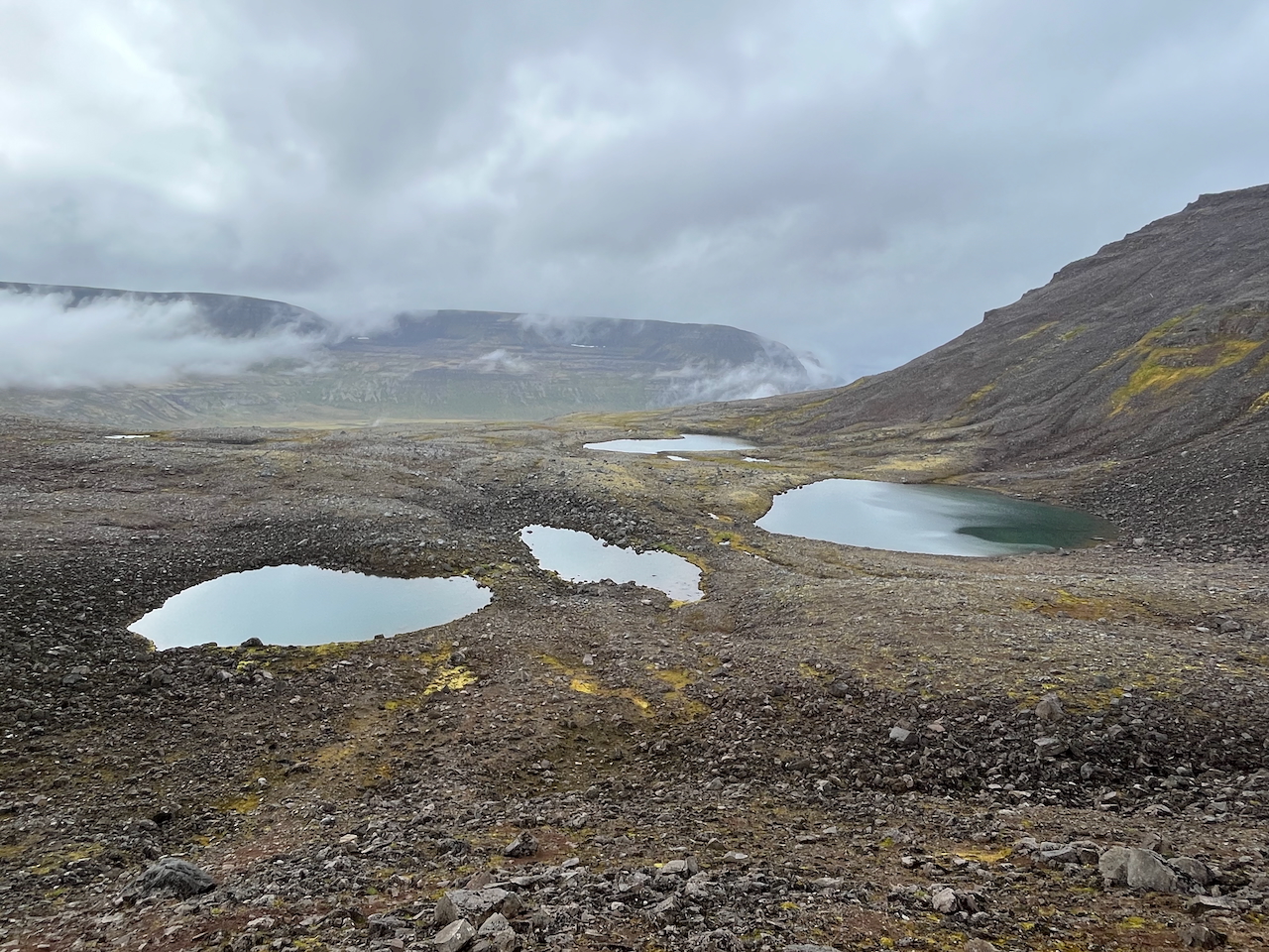
Day 2: Tarn-dotted plateau
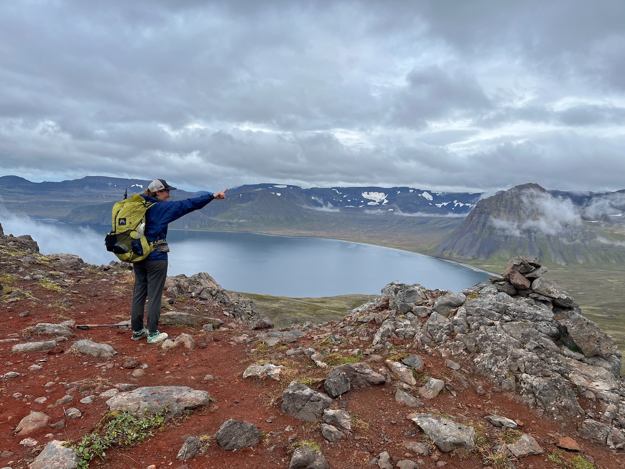
Day 2: Pointing the way from Almenningaskara Pass.
Day 3: Hlöðuvík Bay to Horn Campsite
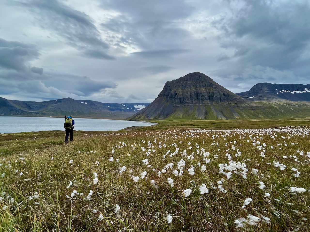
Day 3: The fluffy white tufts of cottongrass (Eriophorum) are a common sight throughout Hornstrandir from mid-to-late summer.
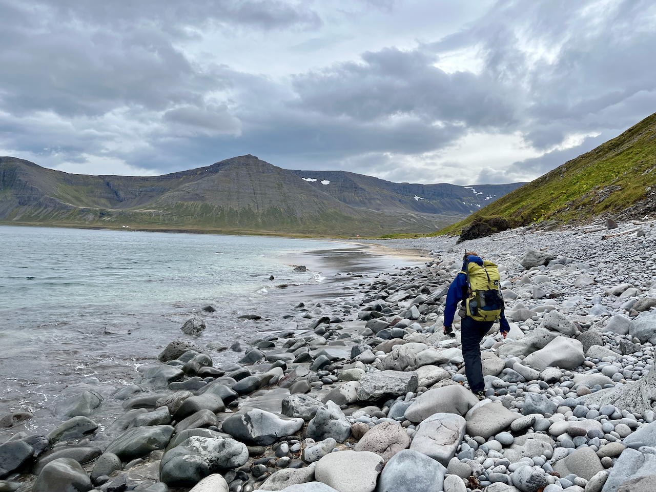
Day 3: Rock hopping north of Einbúi peak.
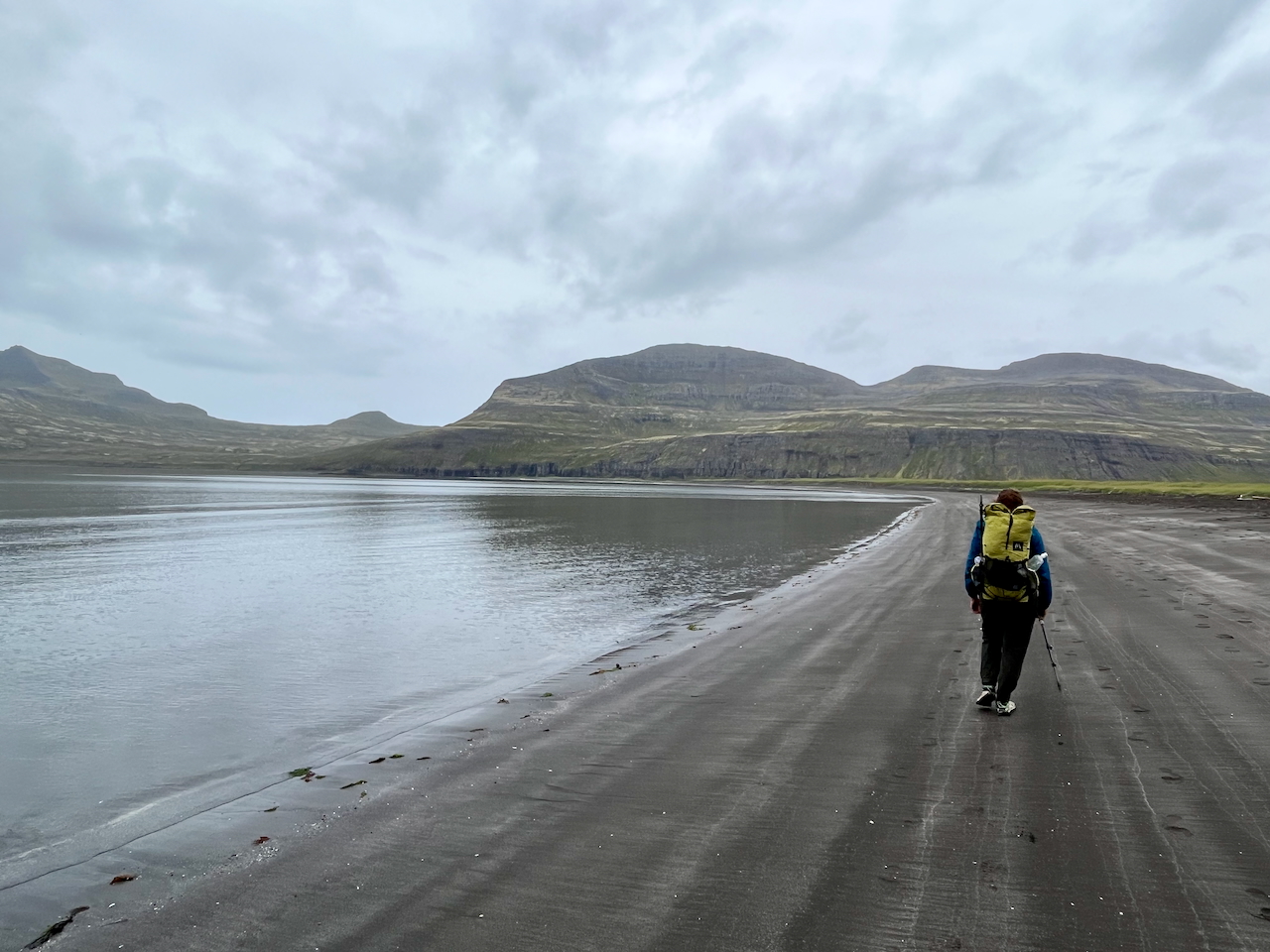
Day 3: The black sands of Hornsvik.
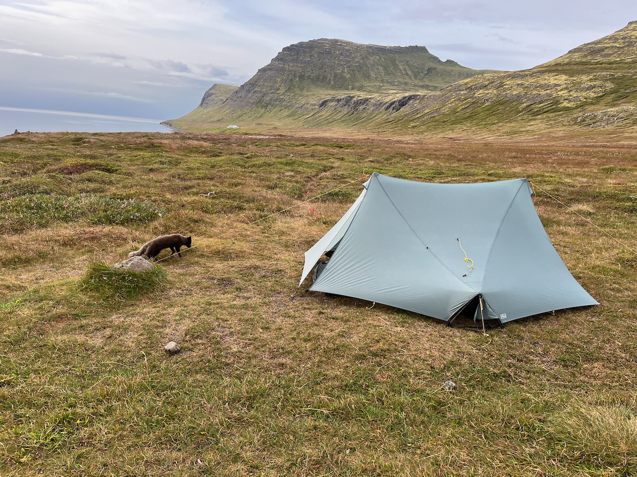
Day 3: Arctic fox at Horn Campsite.
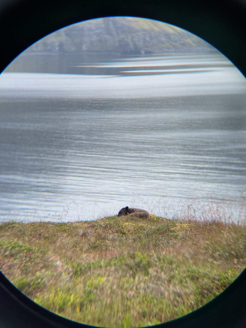
Day 3: After saying its hellos, our friendly host went for a kip not far from the tent (as seen through Kate’s binoculars.)
Day 4: Horn Campsite to Hornbjargsviti Lighthouse
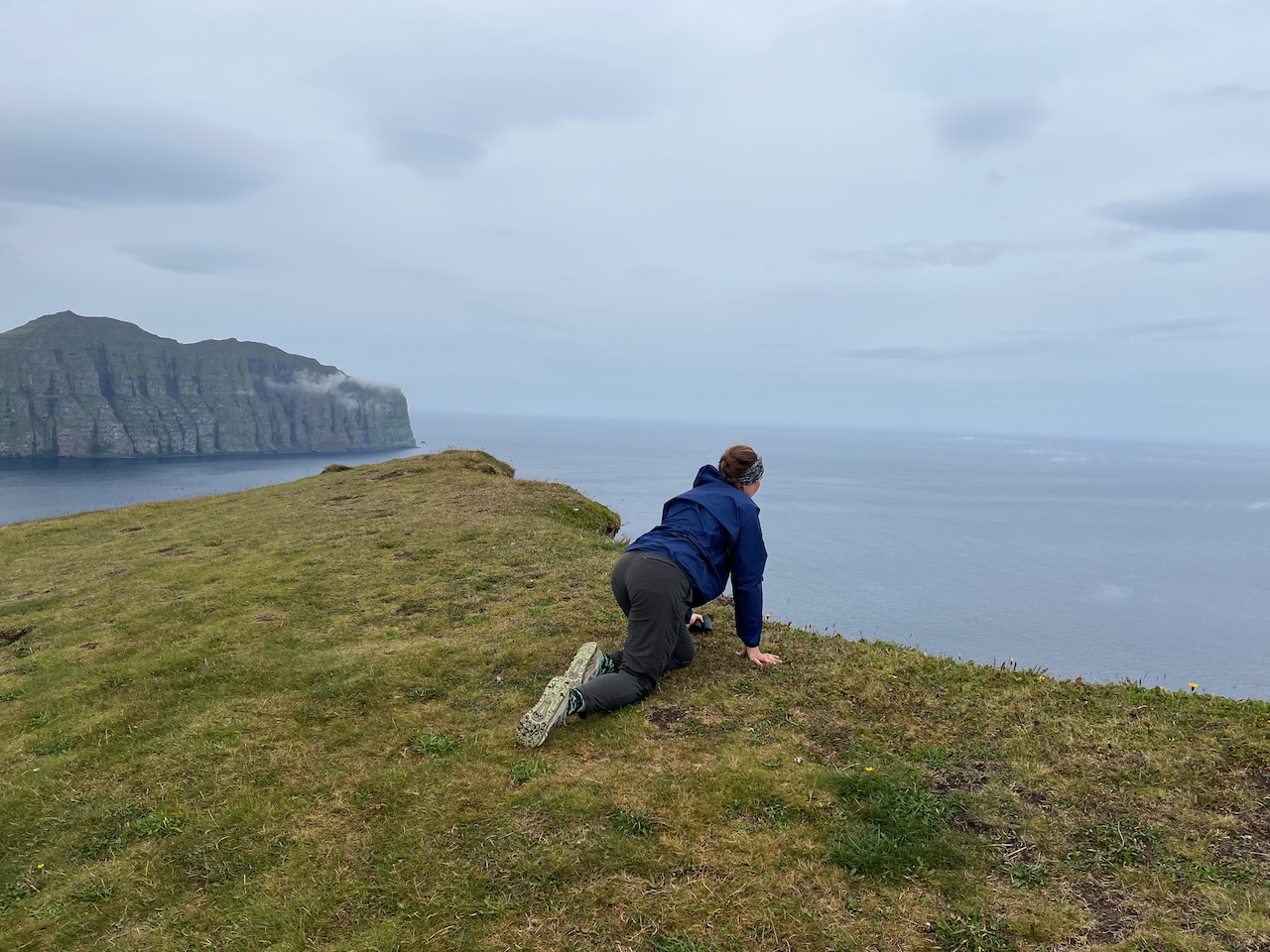
Day 4: Peeking over the edge.
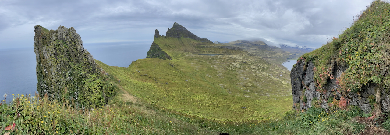
Day 4: Hornbjarg is the signature sea cliff on the Hornstrandir Peninsula (photo by Kate Pickett).
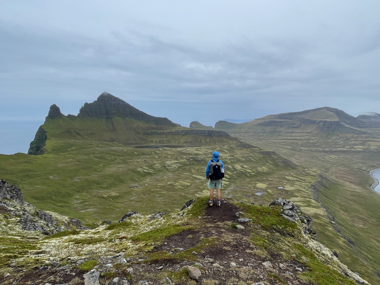
Day 4: Hornbjarg viewpoint (photo by Kate Pickett).
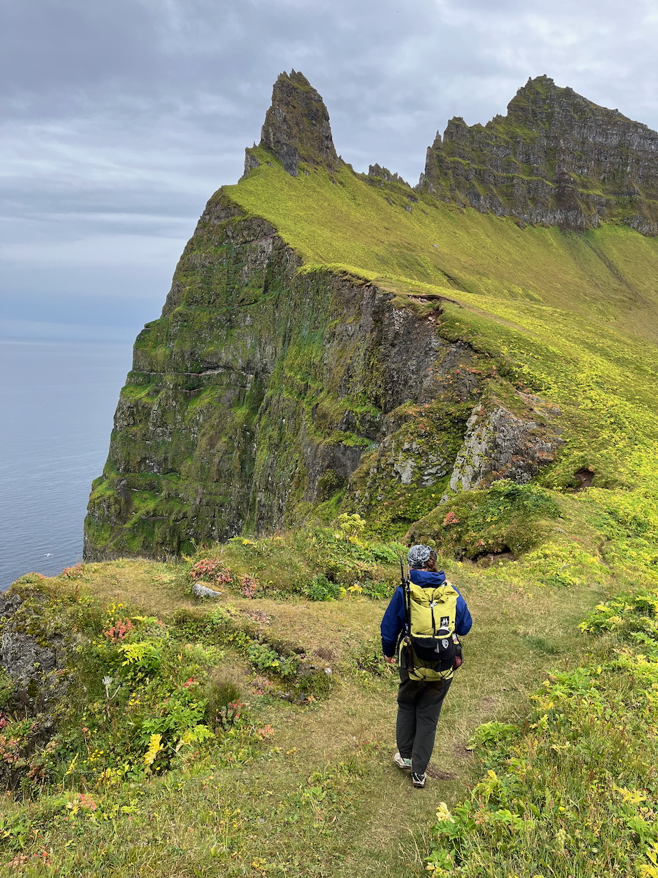
Day 4: Emerald green carpet meets precipitous coastline.
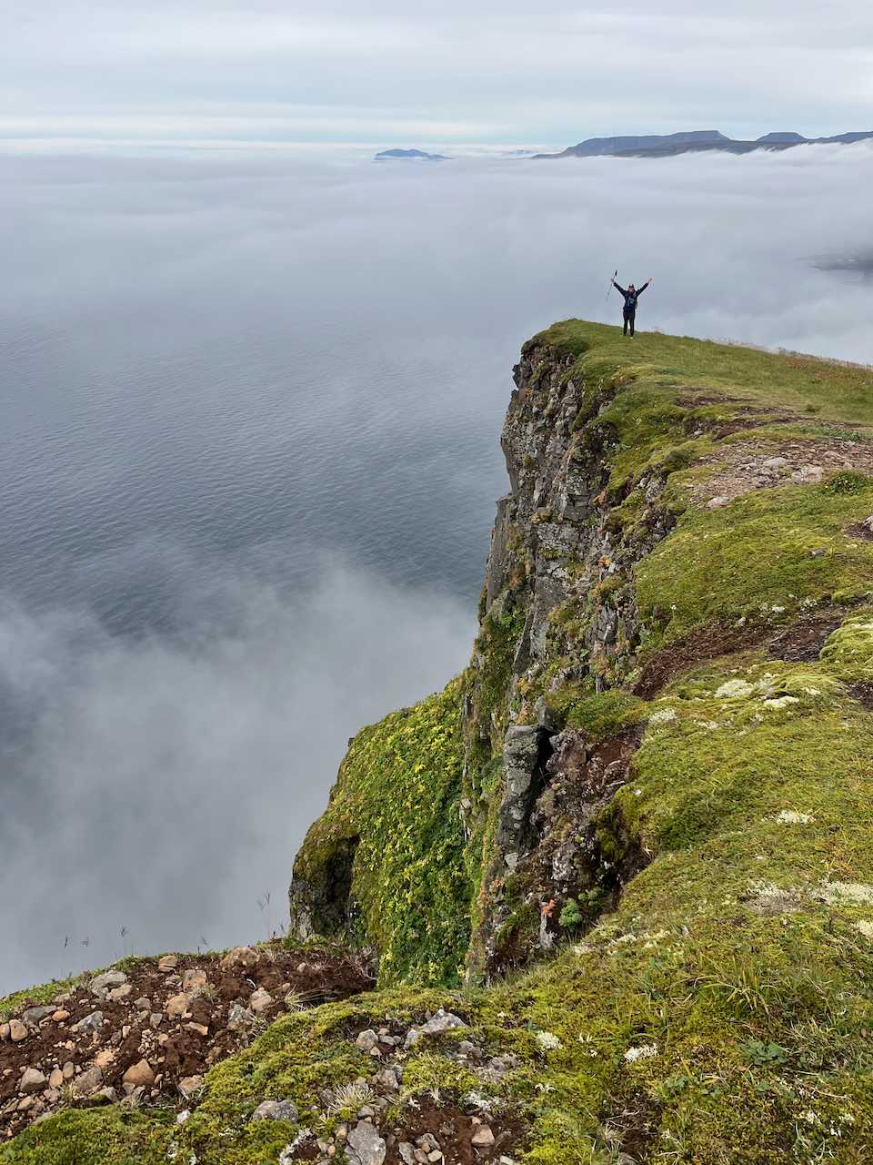
Day 4: Heading south toward Hornbjargsviti Lighthouse.
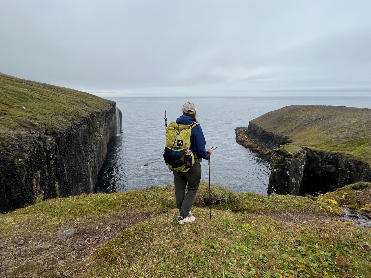
Day 4: The clouds lifted to reveal a small, rectangular-shaped inlet just before the lighthouse (note the cool little waterfall near the entrance).
Day 5: Hornbjargsviti Lighthouse to Steinólfsstaðir Campsite
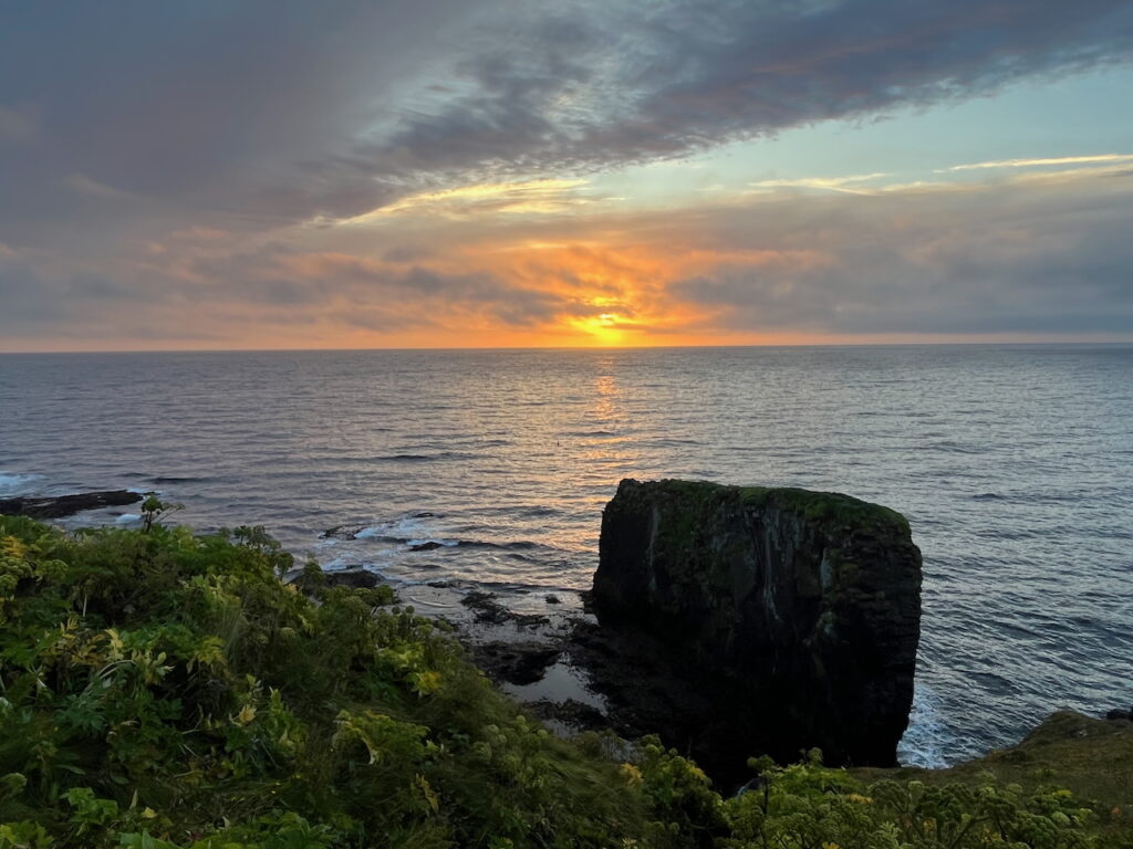
Day 5: Sunrise over the North Atlantic from the shore below Hornbjargsviti.
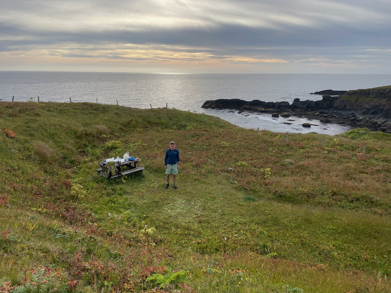
Day 5: Seaside campsite beside the lighthouse (photo by Kate Pickett).
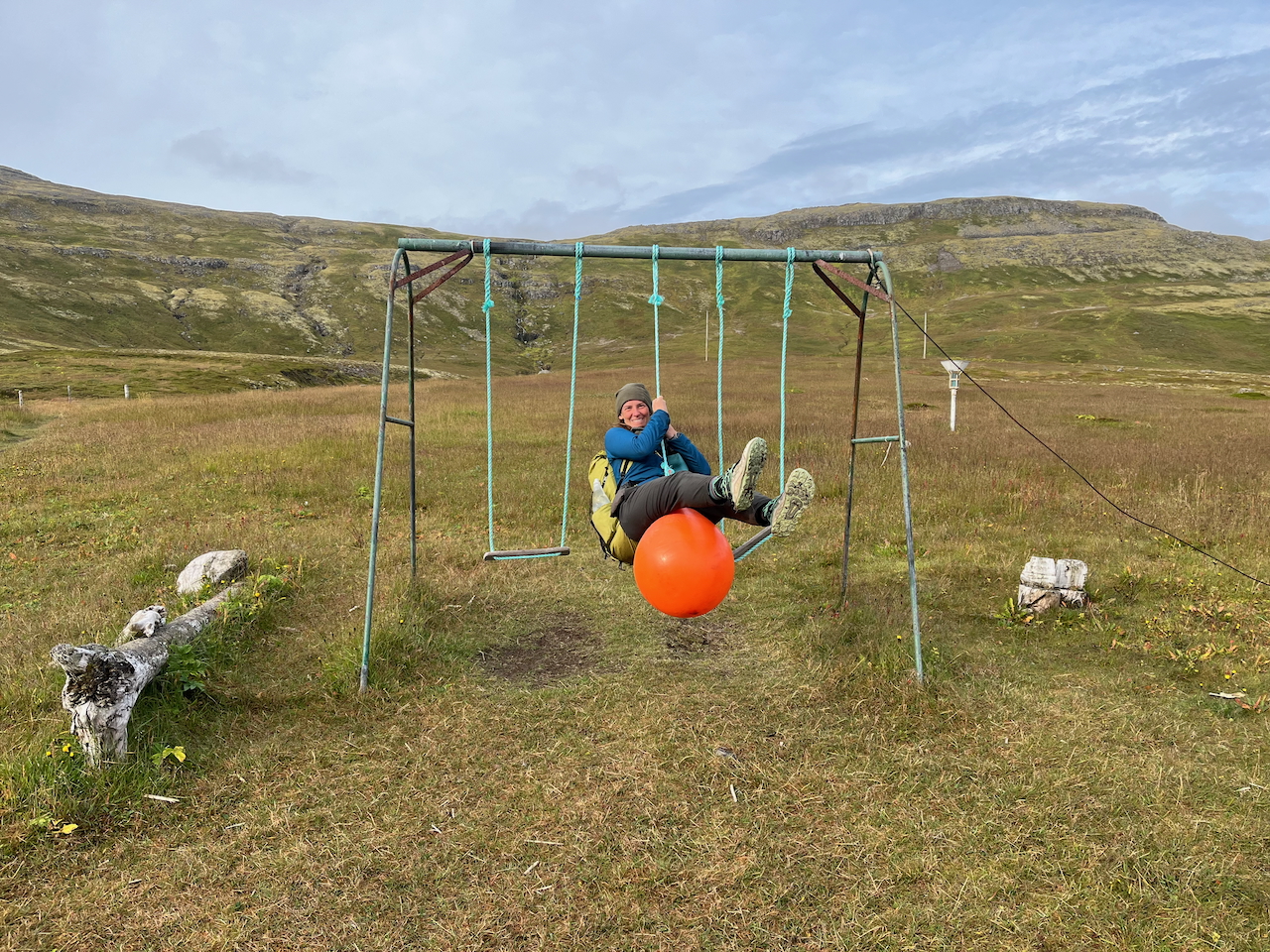
Day 5: One final swing before departure…….
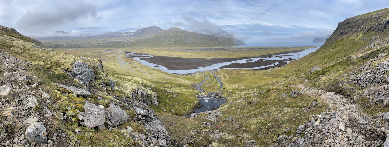
Day 5: Descending from Kýrskarð Pass.
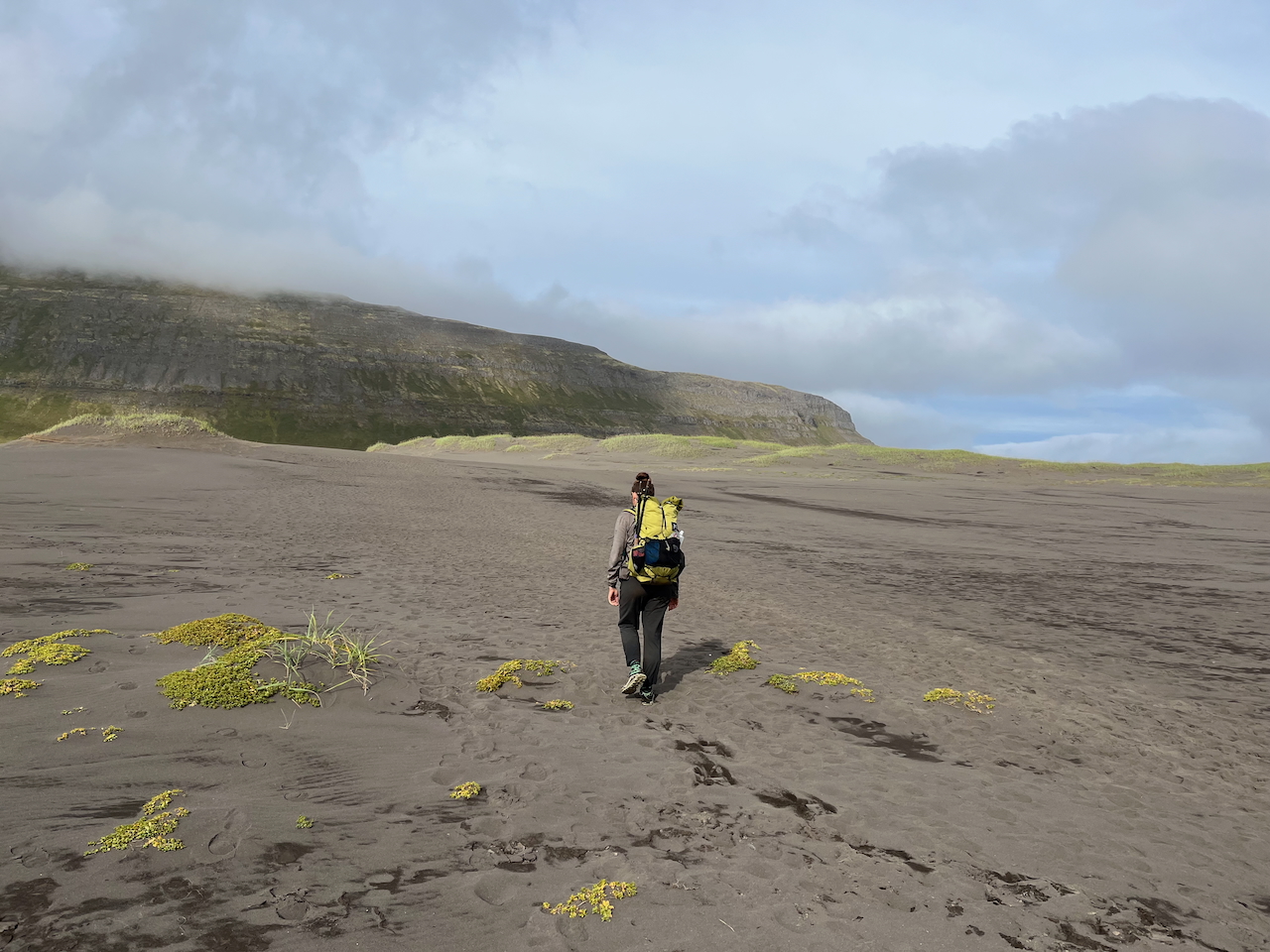
Day 5: Crossing the sand dunes of Hornvik.
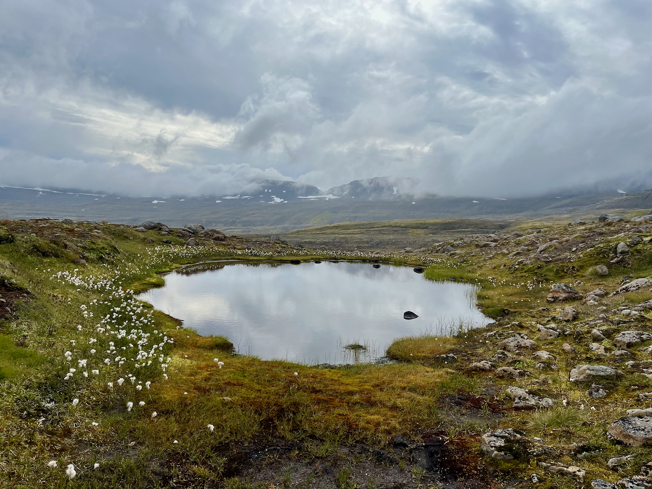
Day 5: Cottongrass-ringed tarn on the ascent to Hafnarskarð Pass.
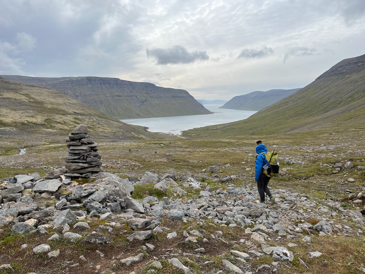
Day 5: Hafnarskarð Pass
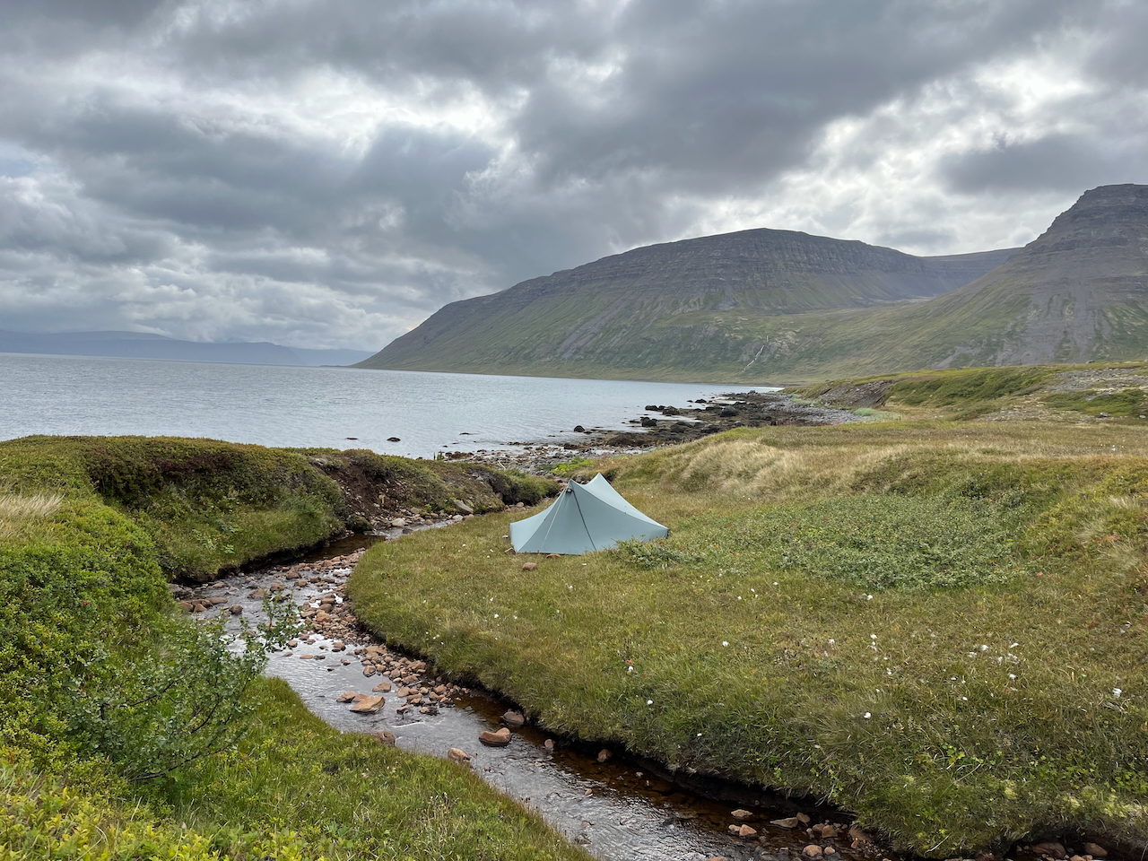
Day 5: The calm before the storm at Steinólfsstaðir.
Day 6: Steinólfsstaðir Campsite to Hesteyri
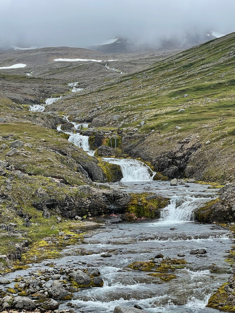
Day 6: Following the water stairs toward a foggy Hlöðuvíkurskarð Pass.
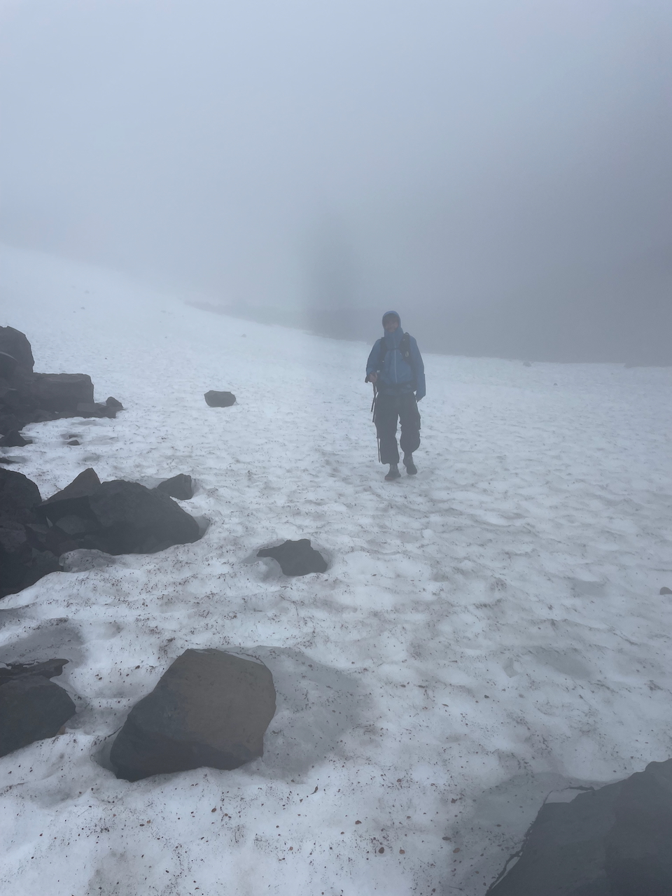
Day 6: Descending from Hlöðuvíkurskarð Pass (photo by Kate Pickett).
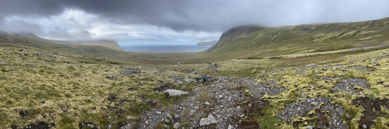
Day 6: Emerging from the fog of Hlöðuvíkurskarð, we made our way northwest across soggy plains to Látravík Cove (photo by Kate Pickett).
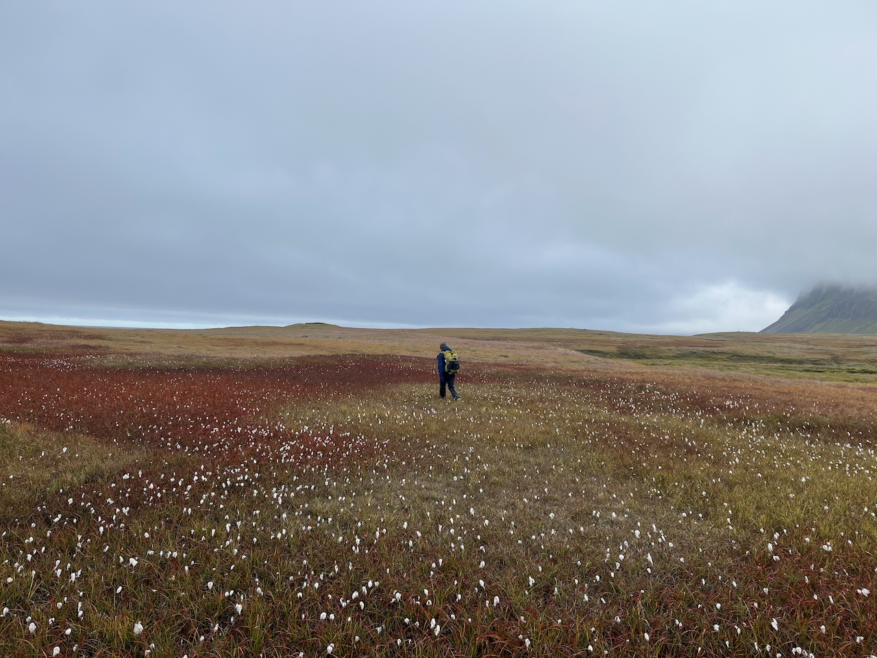
Day 6: Through the cottongrass to the coast.
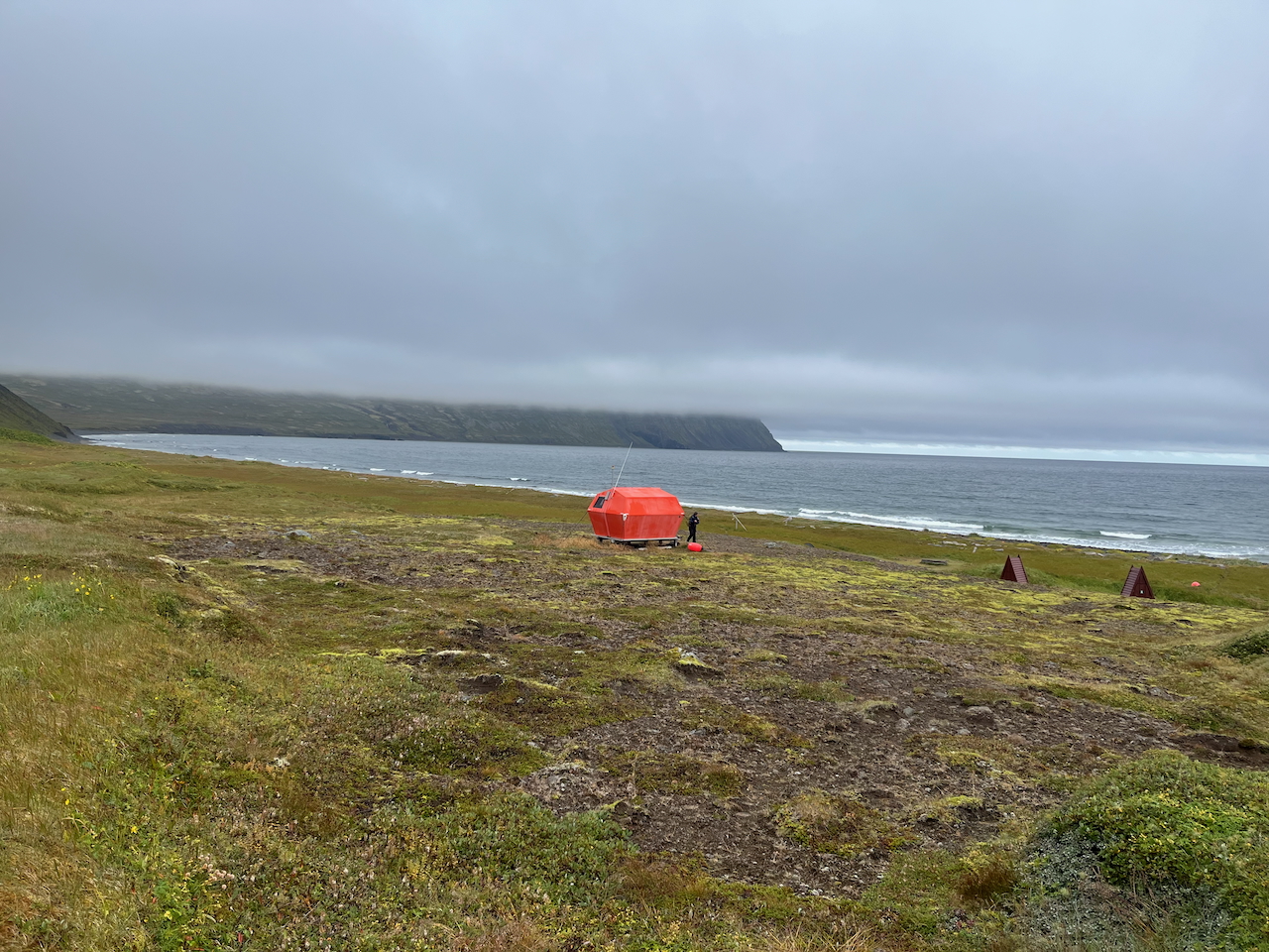
Day 6: Emergency shelter at Hlöðuvík Campsite.
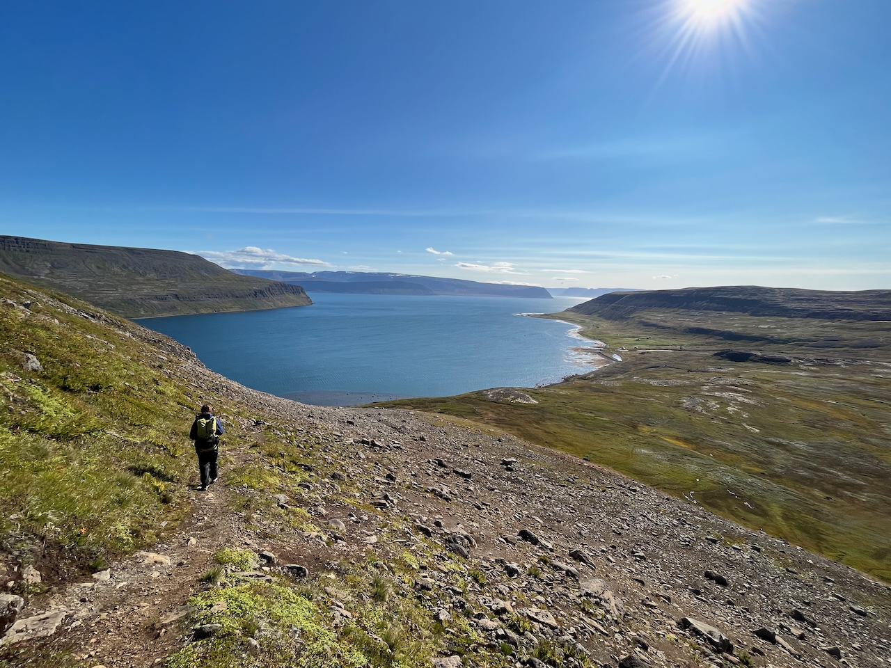
Day 6: Final descent to Hesteyri.
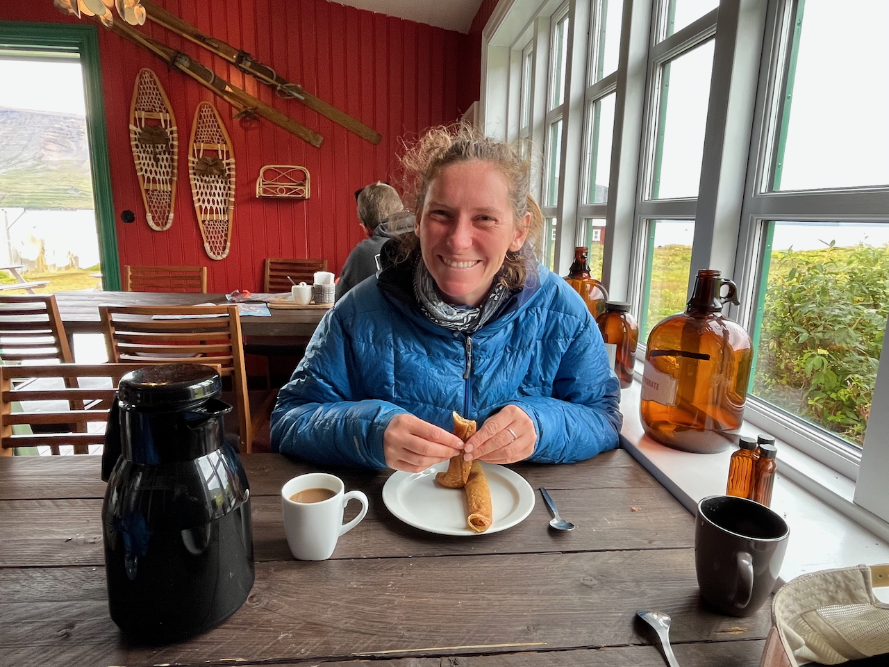
Crepes and coffee/hot chocolate at the Old Doctor’s House.
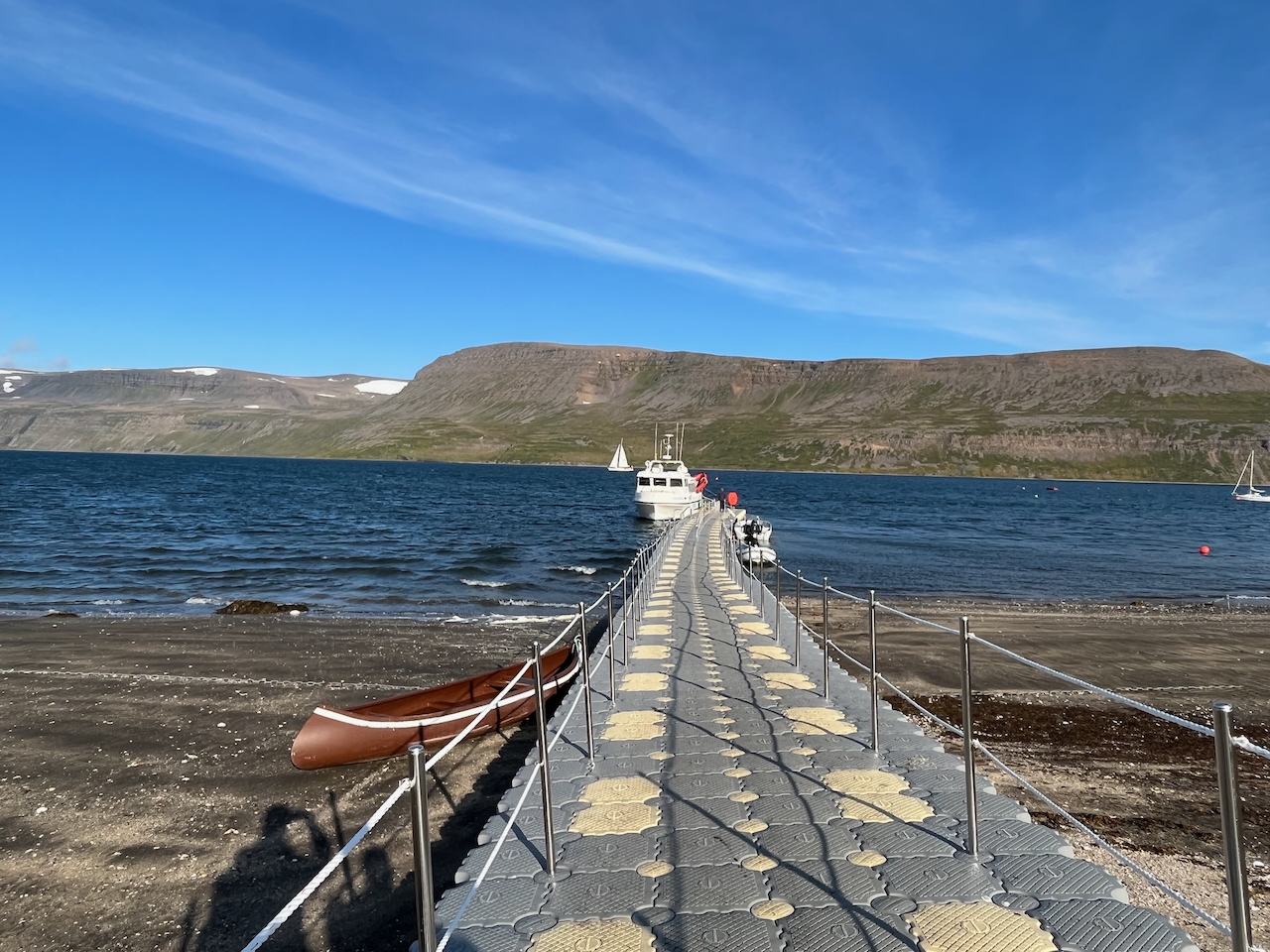
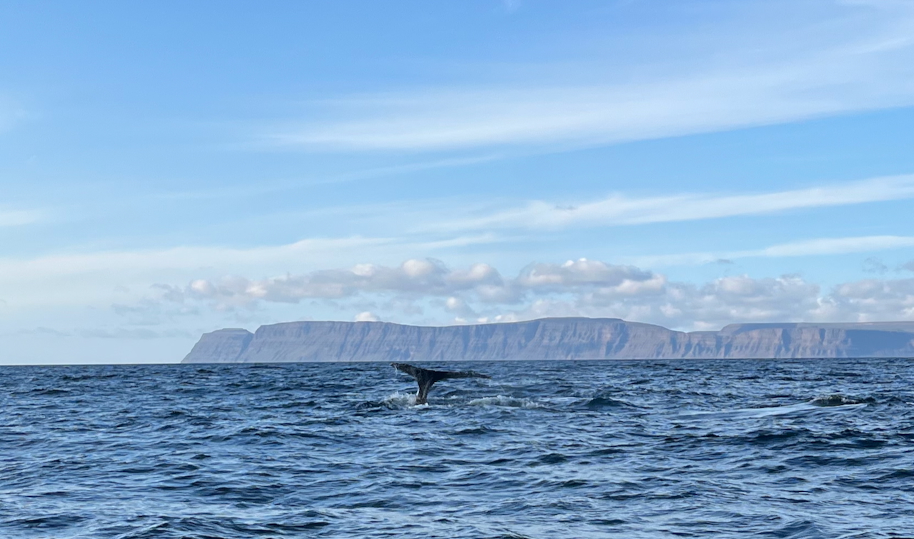
Our ride back to civilization from the Hesteyri dock. We had awesome weather on the return journey, and even saw a pod of humpback whales!
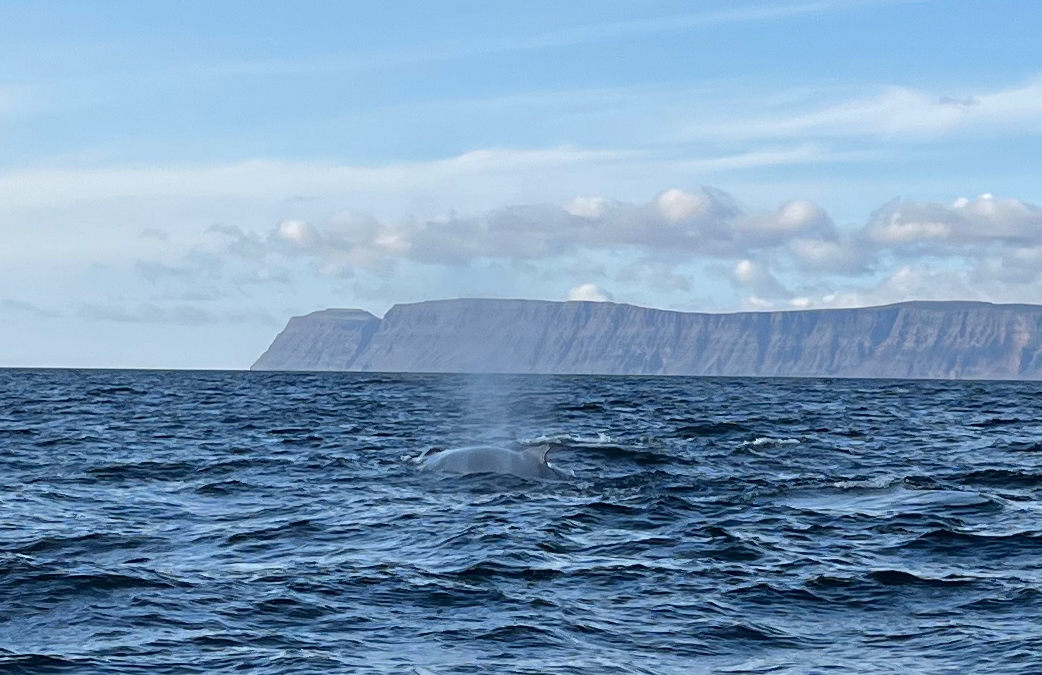
Humpbacks are regularly seen in the waters around the Westfjords during summer.
See you next time, Hornstrandir!
Related Posts
(Note: Gear list for Iceland still to come. Probably the most notable difference for this trip was that I carried a larger/more comfortable two person shelter, the Tarptent Stratospire 2. The rest of my kit was fairly similar to the items noted in the “Nordic” gear lists below):
Discover more from The Hiking Life
Subscribe to get the latest posts sent to your email.
Looks brilliant mate!
Hey David,
It’s an amazing part of the country and well worth the effort to get there!
Cheers,
Cam
Well done and THANKS for sharing!!
No worries, and thanks for reading!
Cheers,
Cam
It looks a good trip Cam. My current shelter is a Strato 2, I love the extra room, decent height & the 2 vestibules, great for sun rise & sun set.
Thanks, Peter. I agree with all your points on the Strato……plus it holds up well in a storm!
Cheers,
Cam
Thanks Swami, looks like a trip of a lifetime. Awesome photos! r
Thanks for the kind words, Reaper!
Wow Cam, what a place! Loved your hike description and photos from you and Kate. Spectacular!
Thanks for the kind words, Randy. We both really loved our time there. Definitely one of my favorite places in Iceland!
Hello,
I went twice in the mid 80’s. No much people up there and I could camp anywhere.
As I read more and more about so much people visiting Iceland nowadays, I wasn’t anymore interested in going there. But seing your picture make me change my mind. Which period did you go and did you see a lot of people?
Thanks a lot for sharing
Mathieu
Hi Mathieu,
Thanks for the comment. We went to Hornstrandir in mid-August, and apart from the drop-off point at Hesteyri and the campsite at Hornvik, we only saw a handful of people over the six days.
Cheers,
Cam
Loved experiencing this via you both, thank you!
You’re very welcome! Thanks for reading!
Hey Cam,
Great article, as always!
Your newsletter is the one i always look into as soon as it arrives before any other. 🌞
As you mention the ferry… and that trips can get cancelled if the weather is too bad…
I am very seasick… can you say something on how “bad” it is on “regular” days?
And i want to purchase one of your books.
Are you sending signed copies too? or just bookstored?
Angelika
Hey Angelika,
Thanks for the kind words about the post — and for always checking out the newsletter!
As for the ferry, on a “regular” day the ride from Ísafjörður is usually pretty manageable. That said, it can get quite bumpy when conditions are rough – if you’re prone to seasickness, I’d consider taking something beforehand (just to be on the safe side).
Regarding the books, unfortunately I don’t have any signed copies at the moment. Both the Wanderlust series and the For Dummies guide are widely available online and in bookstores. Thanks so much for wanting to pick one up – I really appreciate it!
Cheers,
Cam
Thanks Cam!