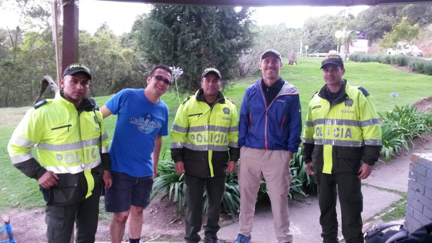
Cocuy Circuit | Colombia, 2015

The Colombian Andes. The most northern part of the world’s longest mountain range. The hiking highlight of this month’s trip to the region was a circuit of the Sierra Nevada del Cocuy, a sub-range of the Andes situated approximately 300 Read More …

Tips for High Altitude Hiking

High mountain ranges such as the Rockies, Andes and Himalaya offer some of the most spectacular hiking opportunities on the planet. However, walking at high altitude brings with it certain inherent risks, the most common of which is altitude sickness, Read More …

Colombian Andes Gear List (2015)

Summer in the Colombian Andes can be a meteorological crapshoot. Dry and clear periods, mixed with torrential rain, snow and high winds. Temps often hover around freezing during the day, but subsequently drop well below zero (celsius) at night. Virtually Read More …

Zion National Park Loop | Utah, 2013

Distance: 60 miles (96.6 km) approx. Avg.Time:  4 days Start / Finish:   The Grotto Easy access via the shuttle system which departs regularly from the Zion NP Visitor’s Center. Season: All year. For more moderate conditions, Spring and Autumn are Read More …

Copper Canyon Traverse | Mexico, 2013

On the morning of December 12, 2013, Justin “Trauma” Lichter and I reached the ‘Cumbres de Sinforosa’, the finishing point for our 381 mile (613 km) traverse of Mexico´s Copper Canyon region. To the best of our knowledge, it was the first Read More …

Appalachian Trail | USA, 2012

At a Glance Distance: 2181 miles (3510 km) Avg. Time: 5 – 6 months Start / Finish: Northern Terminus: Mt. Katahdin, Baxter State Park, ME Southern Terminus: Springer Mountain, GA Season: Regular hiking season for northbounders runs from March through Read More …

Continental Divide Trail | USA, 2012

At a Glance Distance:  2,500 miles – 3,00 miles | Depending on route choices. Avg. Time:  5 months Start / Finish: Southern Terminus: Crazy Cook Monument, NM (official), Antelope Wells and Columbus, NM (alternates). Northern Terminus: Waterton Lake, MT or Read More …

International Appalachian Trail | Canada & USA | 2011

Distance: 743 miles (1196 km) approx. Avg. Time:  45 – 50 days Start: Cap Gaspe, Quebec, Canada Finish: Mt.Katahdin, Baxter State Park, Maine, USA Maps / Information: In October 2011, I hiked from Cap Gaspe, Quebec, via New Brunswick to Read More …

Arthur Range Gear List | Tasmania (2015)

This is the gear list from my recent traverse of southwest Tasmania’s Arthur Range. Driving rain, high winds and temps just above freezing (dipping below at night) were the order of the day. In regards to possible tweaks I would Read More …