If I were to give just one piece of route-planning advice to folks hiking across Iceland, it would be this: don’t miss Askja Caldera. It will add approximately 40–50 km (25-31 mi) to the standard north–south route, but it will take you through one of the country’s most extraordinary landscapes. And given the strength of the competition, that’s saying quite a bit.
For an overview of the entire traverse – including a stage-by-stage breakdown, logistical info and a spotlight on the first two stages – see “A (not so) Quick & Dirty Guide to the Iceland Traverse.” For the skinny on stage 3, keep scrolling….
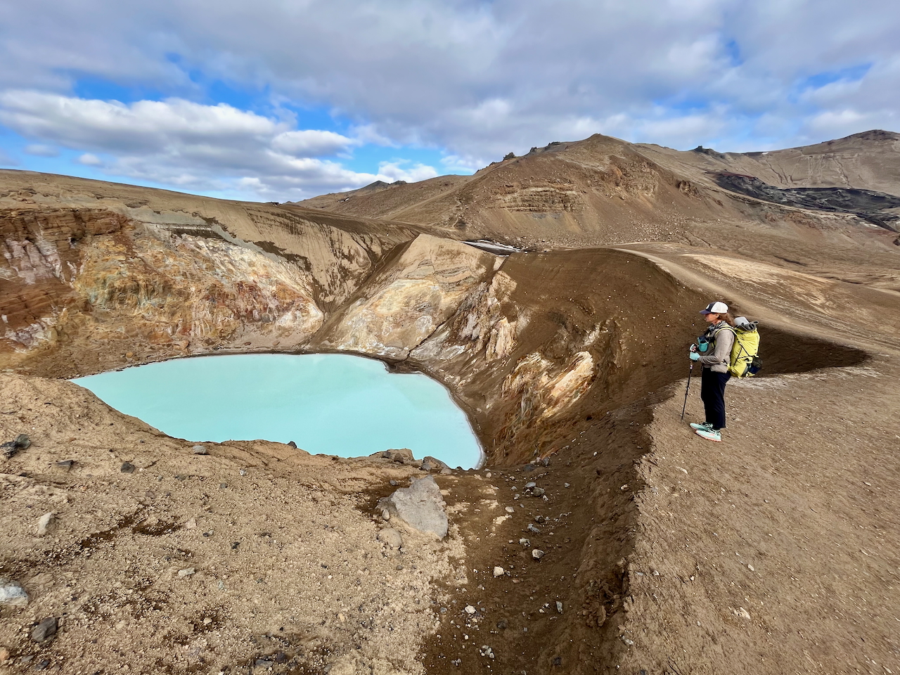
Overlooking Viti Crater in the Askja Caldera.
Stage 3 – At a Glance
Distance: 97 km (60 mi) approx.
Average Duration: 2 – 3 days
Start: Reykjahlíð on Lake Mývatn
Finish: Dreki Hut
GPS: Iceland Traverse (Between Two Lighthouses). The GaiaGPS folder includes our 2023 route, the standard N/S route, and a bunch of alternates and side trips.
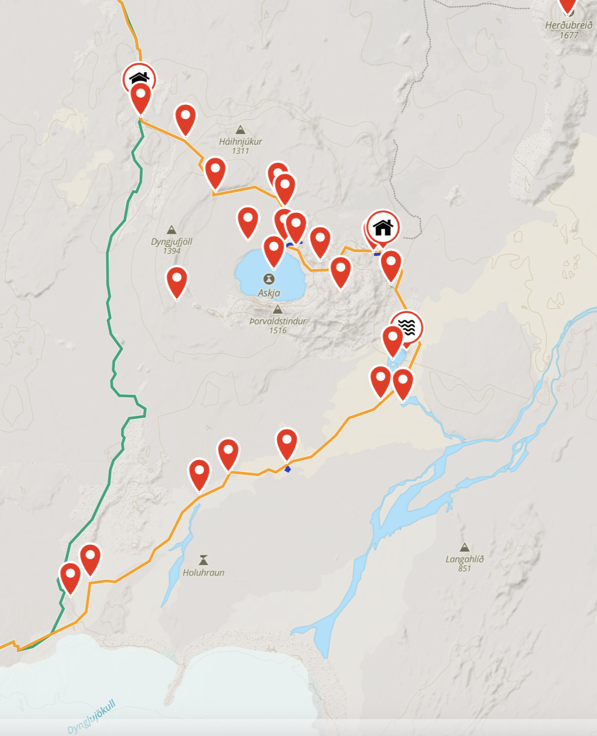
Screenshot of the “Askja route” (orange) and standard route (green) on stages 3 and 4.
Stage 3 – Trekking Notes
- The third stage of the traverse took us from the wetlands around Mývatn into the heart of Iceland’s lunar-like interior.
- Heading south from the lakeside campground at Reykjahlíð, the first 11 km (6.8 mi) follow Road 848 and offer the possibility of side trips to Stóragjá gorge, Hverfell crater, and the Dimmuborgir lava field. For much of this stretch you can hike along a bike path which parallels RD 848.
- After two to three hours you’ll reach a junction near the lake’s southern tip. Exchanging tarmac for dirt, this marks the unofficial beginning of the interior/highlands section of the traverse.
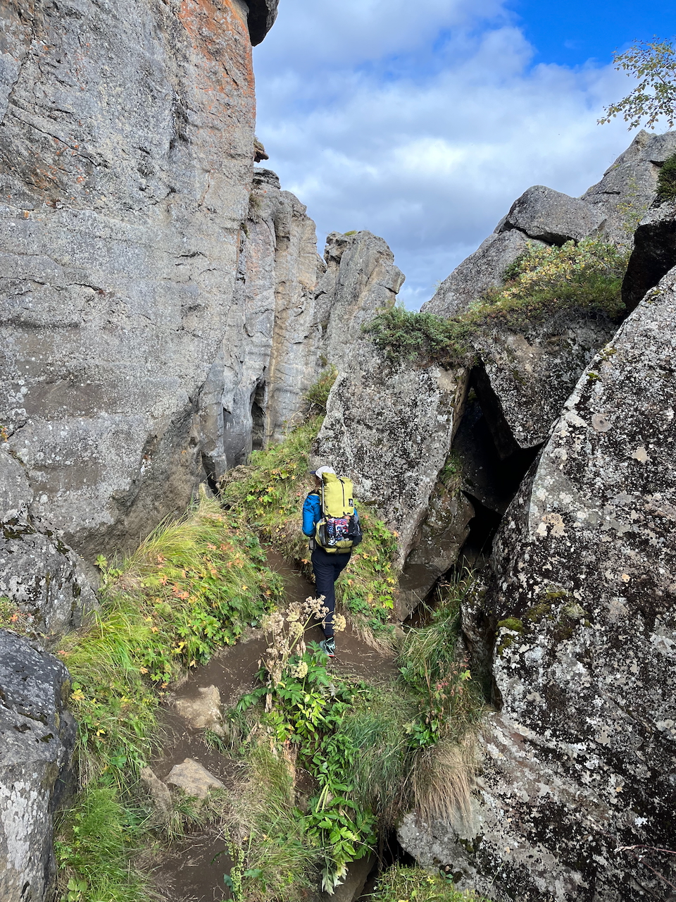
Hiking through the volcanic fissure of Stóragjá.
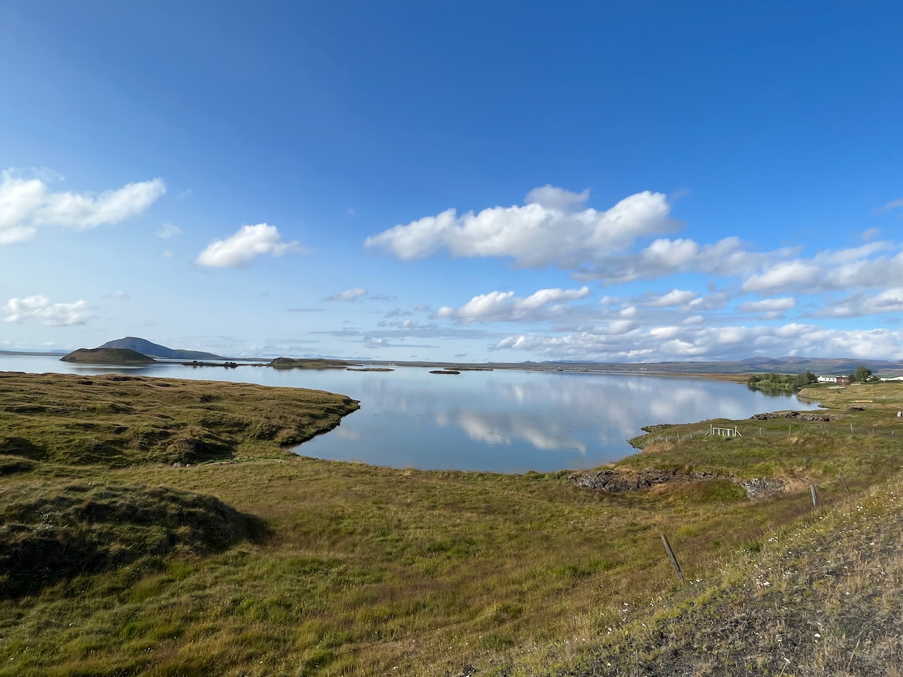
The southern end of Lake Myvatn.
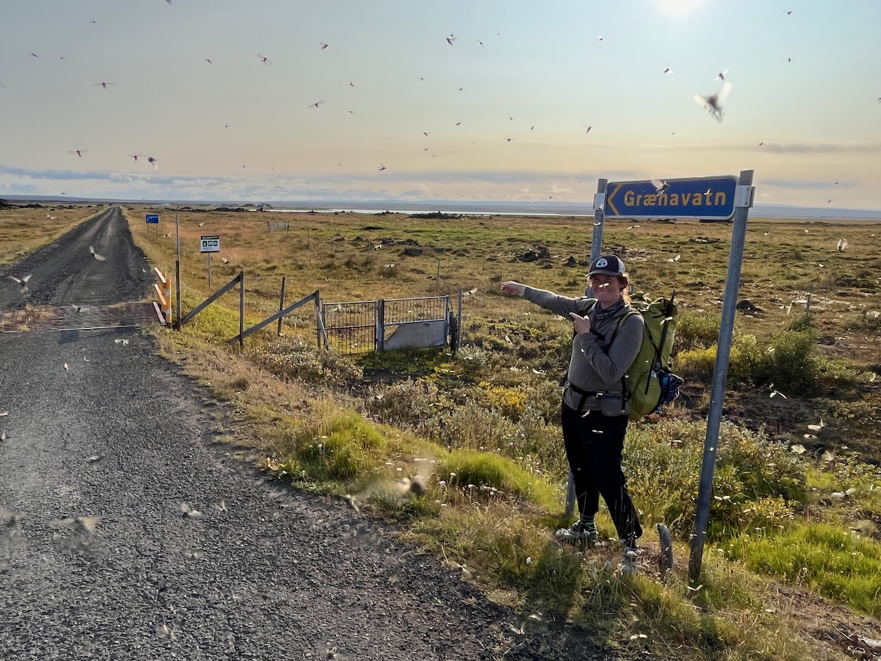
Leaving the (buggy) wetlands of Mývatn and heading into the interior.
- Continuing south from the junction, the most notable landmark on the horizon is the Pleistocene table mountain of Sellandafjall. Passing west of its truncated cone, you’ve now entered the Ódáðahraun Desert, which covers 6000 sq km (2,317 sq mi) and is considered to be the world’s largest lava field.
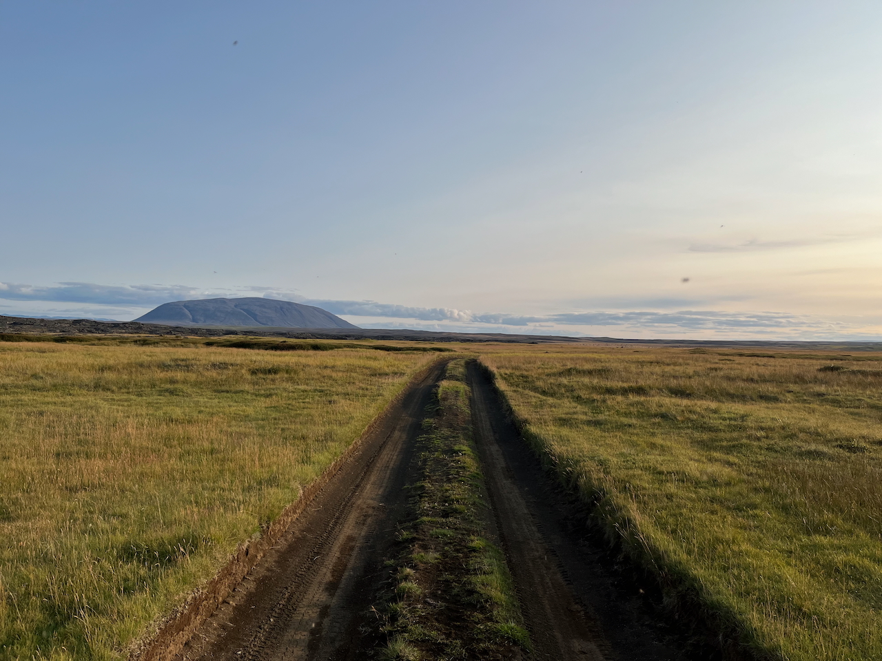
Hiking toward the Pleistocene table mountain of Sellandafjall (like a mini Icelandic version of Uluru).
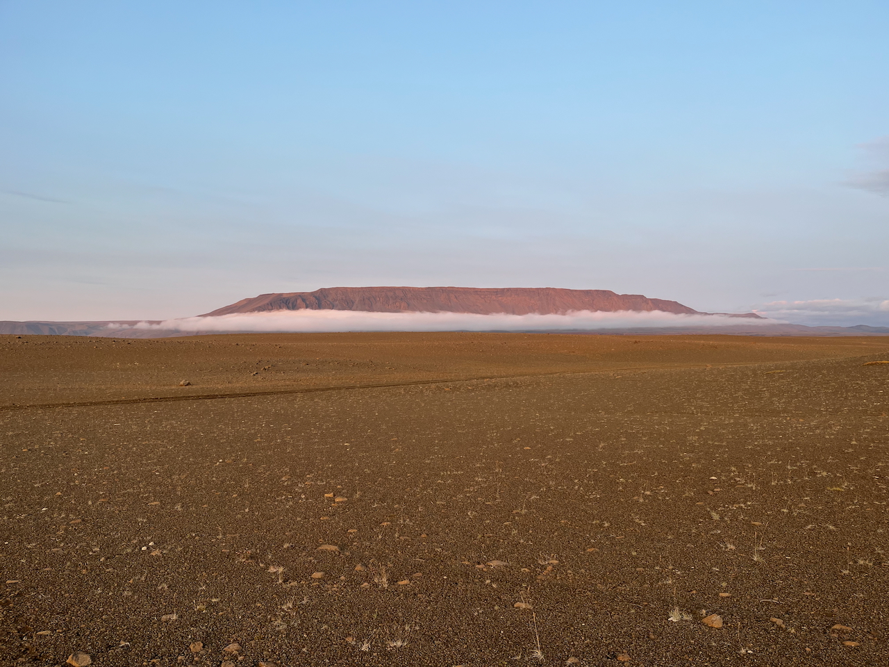
Orographic fog and solitary mesas.
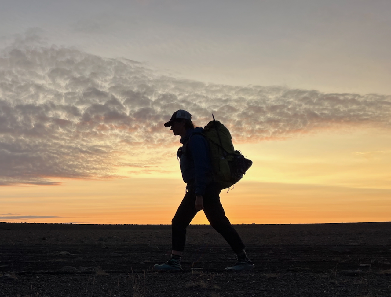
After a mid-afternoon start from Myvatn, we hiked until just before dark.
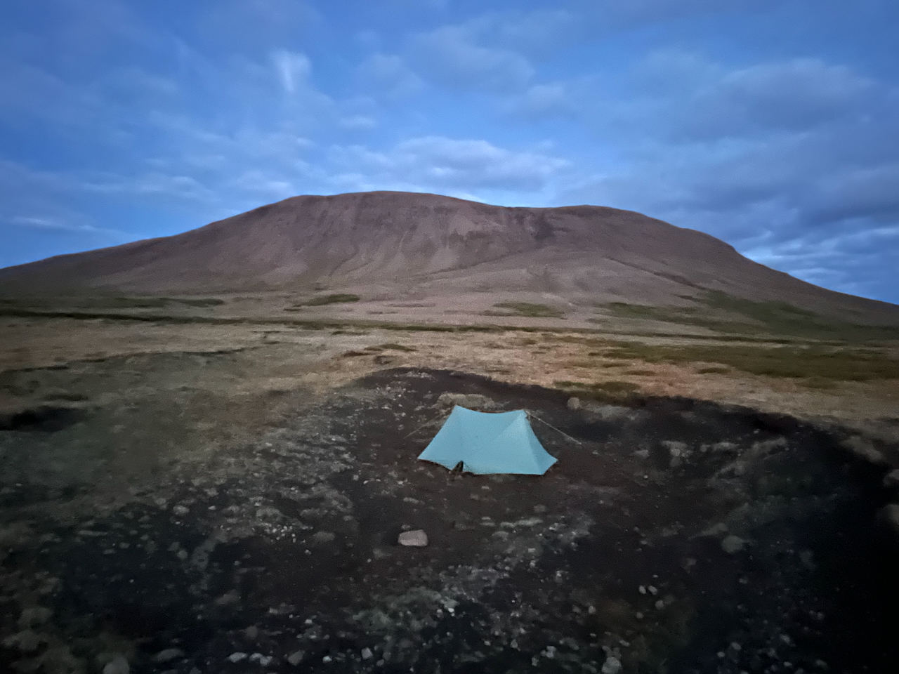
Semi-sheltered campsite near Sellandafjall.
- Among the volcanic sands, lava fields, and rock formations, there are semi-regular water sources along the route.
- Additionally, there’s a series of isolated mountain huts, including Botni and Dyngjulfjöll, which offer a welcome respite from the elements when Ma Nature is flexing her meteorological muscles.
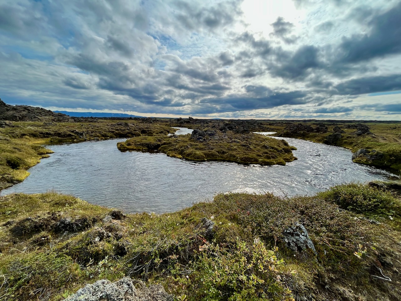
Excellent water available from the spring-fed Kráká.
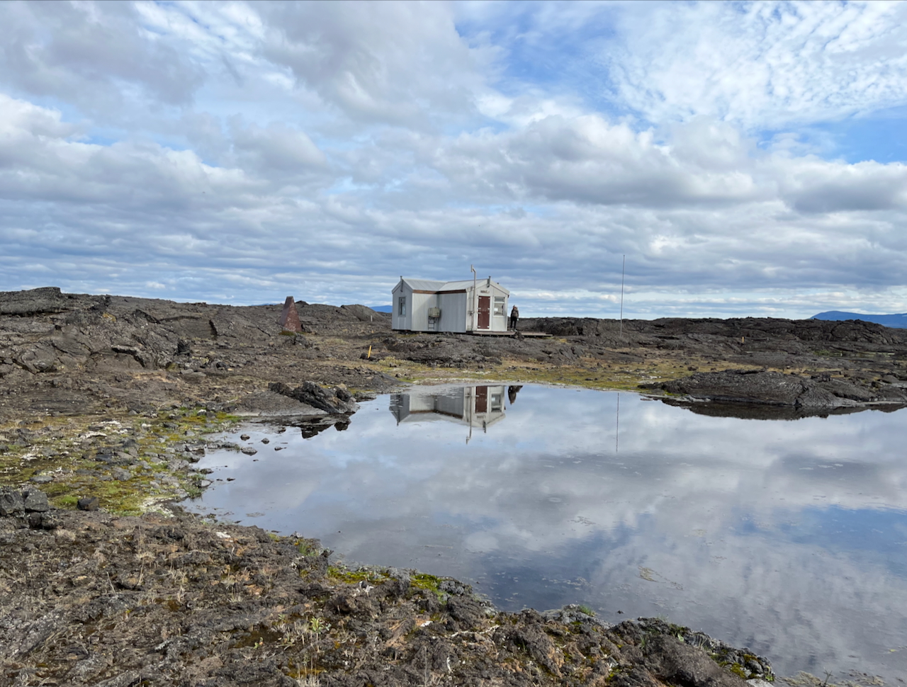
We stopped for a break at Botni Hut, located around 50 km (31 mi) from the Reykjahlíð Campsite.
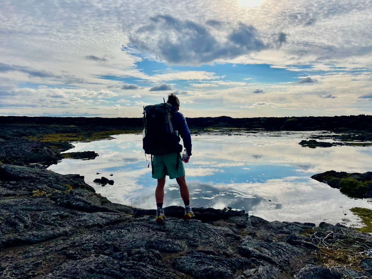
Reflections among the lava field (photo by Kate Pickett).
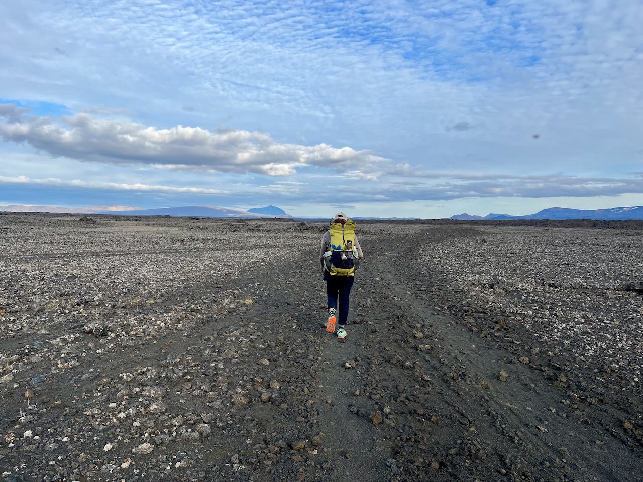
Through the Ódáðahraun on the way to Dyngjulfjöll hut.
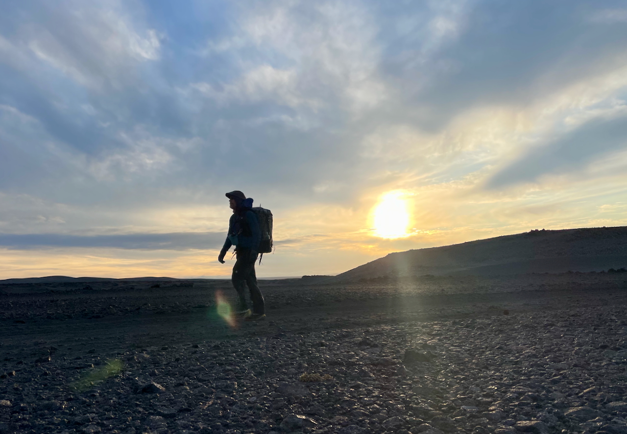
Sunset in the world’s largest lava field (photo by Kate Pickett).
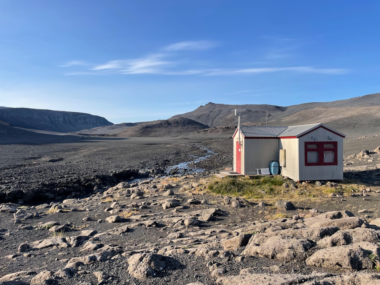
We arrived at the Dyngjulfjöll hut just before dark. We were greeted by two friendly young Swiss blokes, who were a few days into their first ever backpacking trip (photo by Kate Pickett).
- From Dyngjulfjöll hut, the most expedient route choice is to continue south along the 4×4 Jeep track (often referred to as the Dyngjufjalladalur track) for around 40 km to a junction with the Gæsavatnaleið (F910). Alternatively, for those wanting to visit Askja, head southwest at the signed junction and begin climbing up a sandy spur.
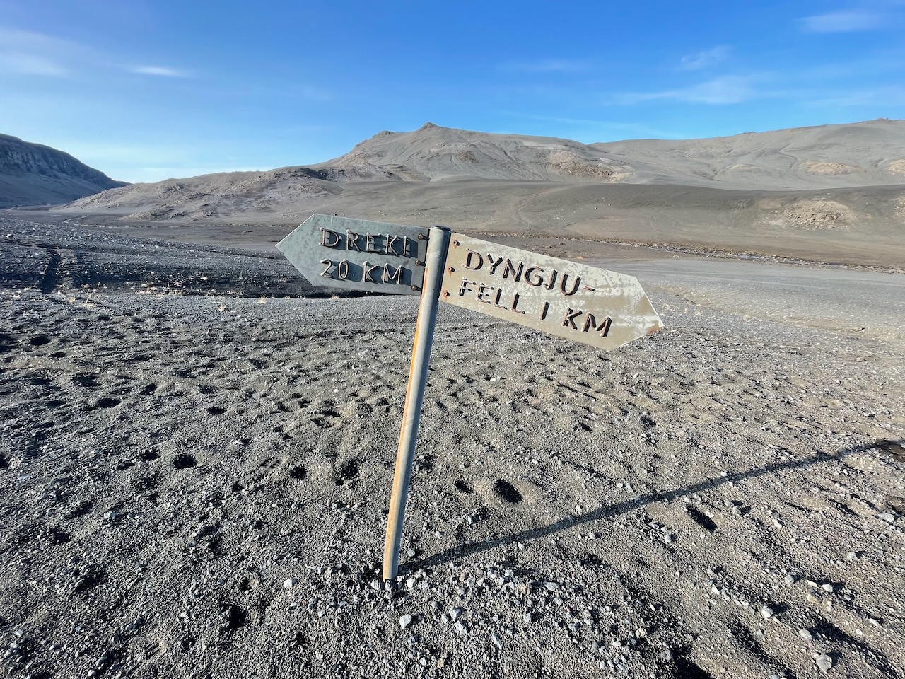
Tip: Go left……………On a related odometric note, the distance from this signpost to Dreki Hut is closer to 24 km.
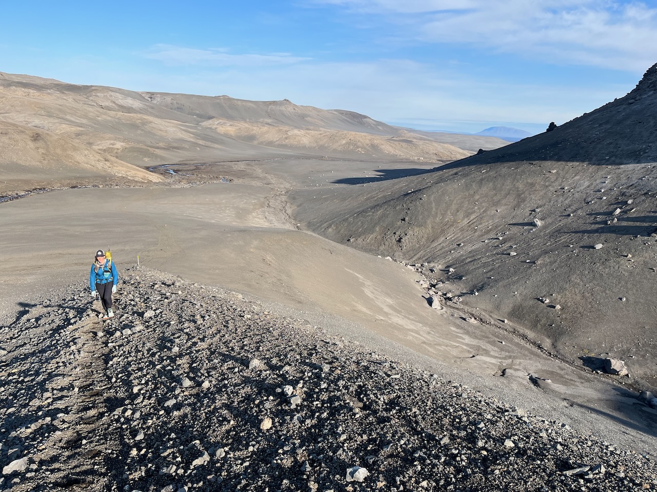
Beginning the climb toward Dyngjulfjöll Pass.
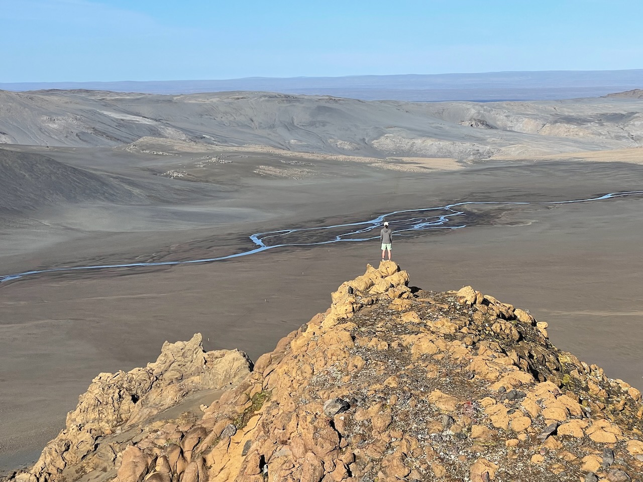
Gazing west over the Ódáðahraun (photo by Kate Pickett).
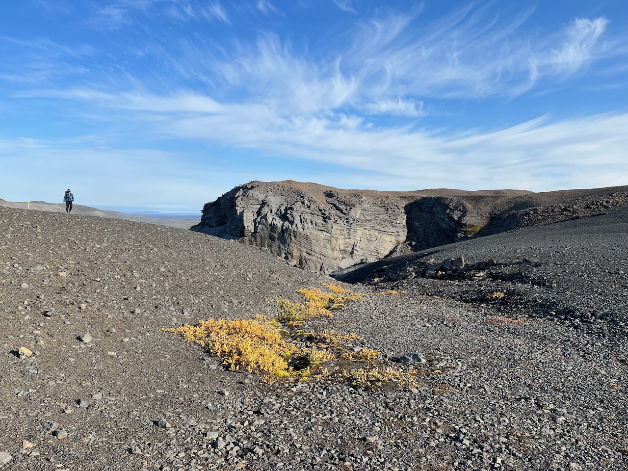
The initial stretch of the route between Dyngjulfjöll and Askja was marked by periodic yellow/white poles……..
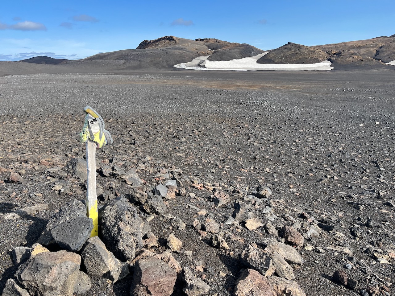
……and a matching abandoned trail running shoe.
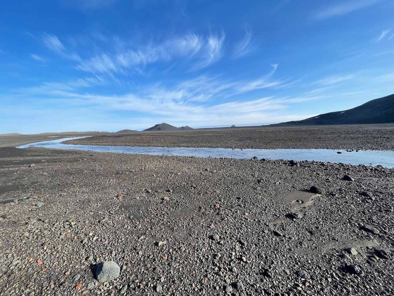
Abundant and pristine water is available up until Dyngjulfjöll Pass.
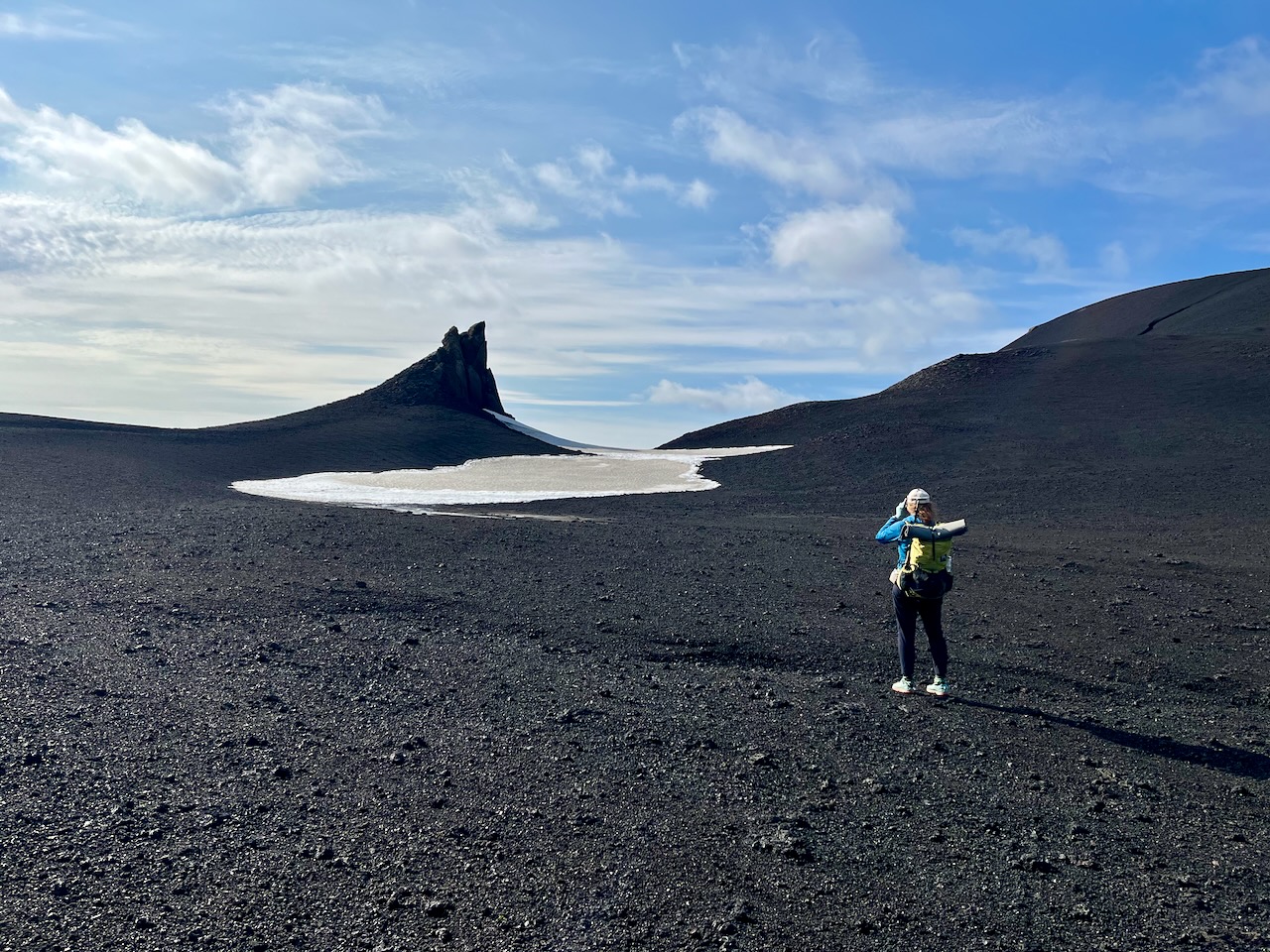
Snow tongues and volcanic sails.
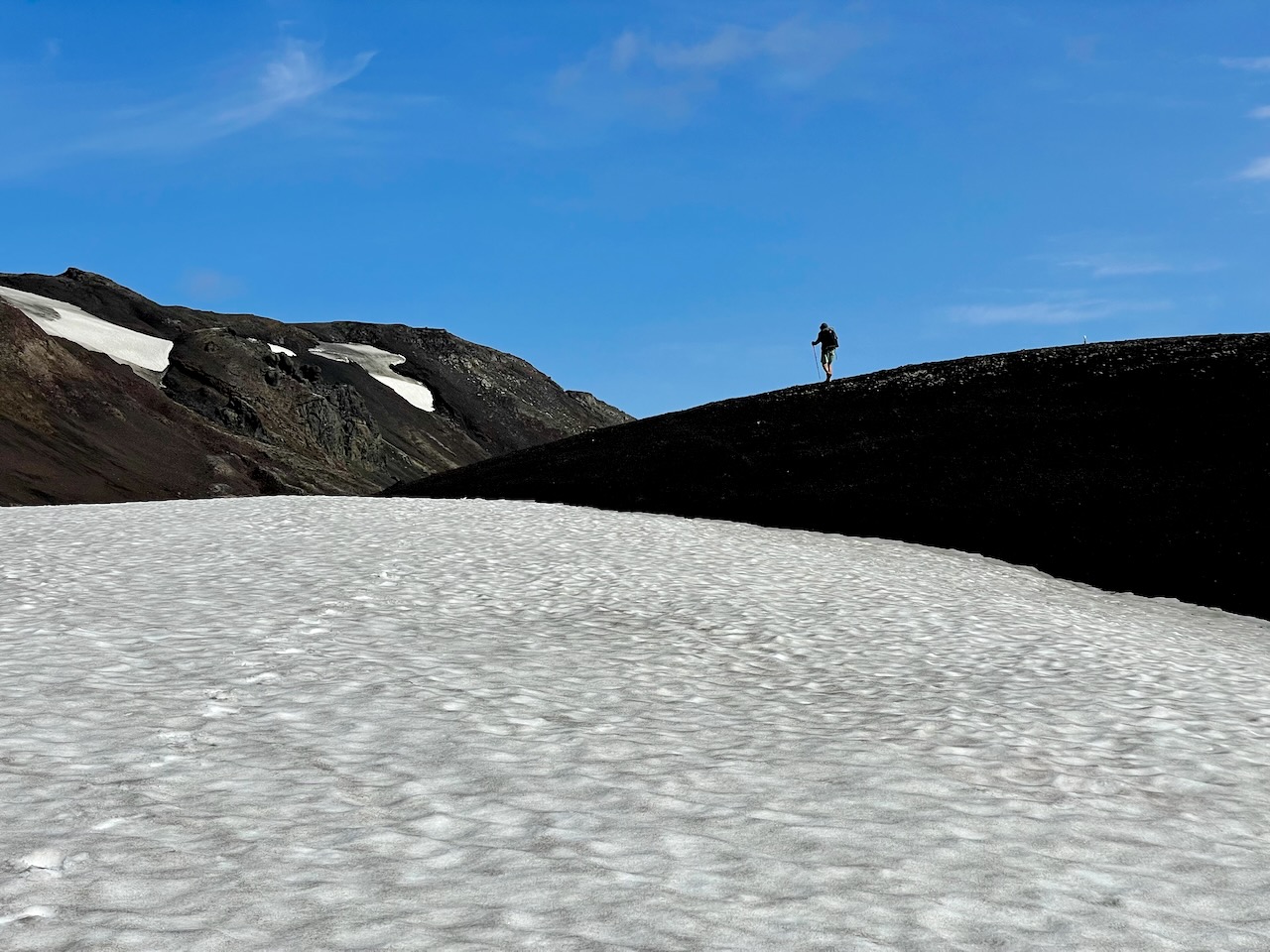
Dyngjulfjöll Pass (photo by Kate Pickett).
- The Askja caldera is approximately 8 km (5 mi) in diameter and forms part of the rugged Dyngjufjöll massif. Its lunar-like landscape has been shaped by repeated volcanic eruptions, extensive lava flows and successive caldera collapses over thousands of years, leaving vast lava fields, pumice deposits, craters and two striking lakes.
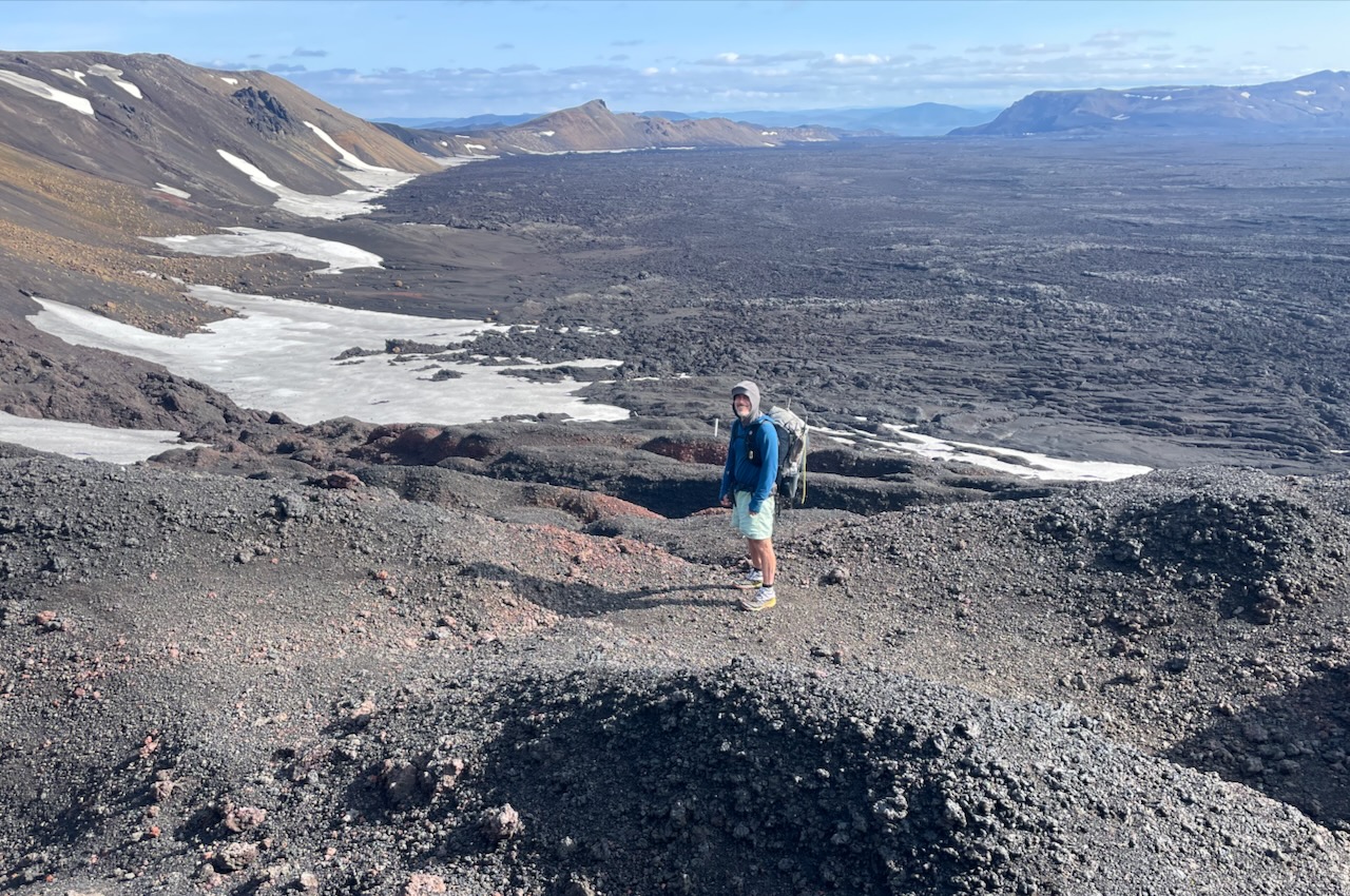
Overlooking the Askja Caldera from its northwestern rim. From Dyngjulfjöll Pass you descend through a labyrinth of fretted volcanic terrain before emerging on to the northern edge of the lava field (photo by Kate Pickett).
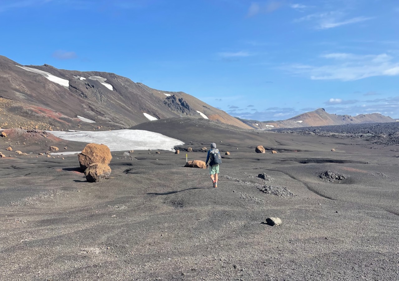
Roundish boulders, lingering snow patches, and lava field skirting (photo by Kate Pickett).
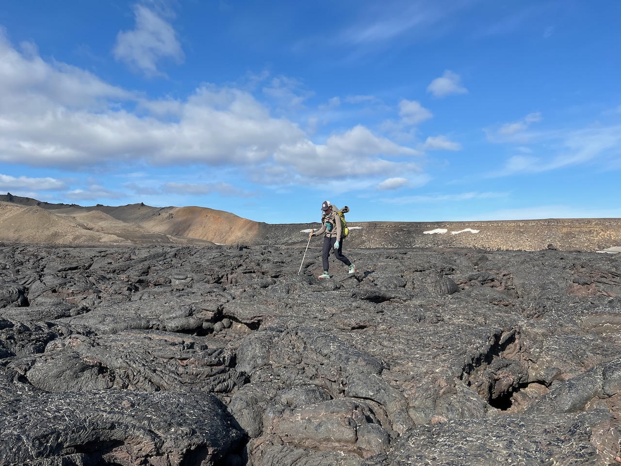
Crossing the lava field on the final stretch to the Vikraborgir Car Park and the well-trodden trail to Viti Crater Lake.
- Víti translates to “hell” in Icelandic. This striking crater lake was formed by steam-driven explosions following the major volcanic eruption at Askja on March 28–29, 1875.
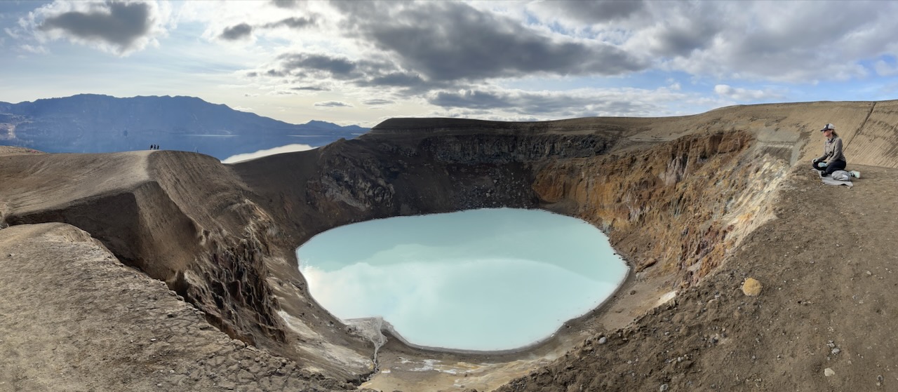
A scenic rest stop overlooking Víti Crater Lake. The colour of Víti’s water can vary from milky white to shades of blue and green, depending on factors such as the time of day, prevailing weather conditions and runoff from the surrounding slopes.
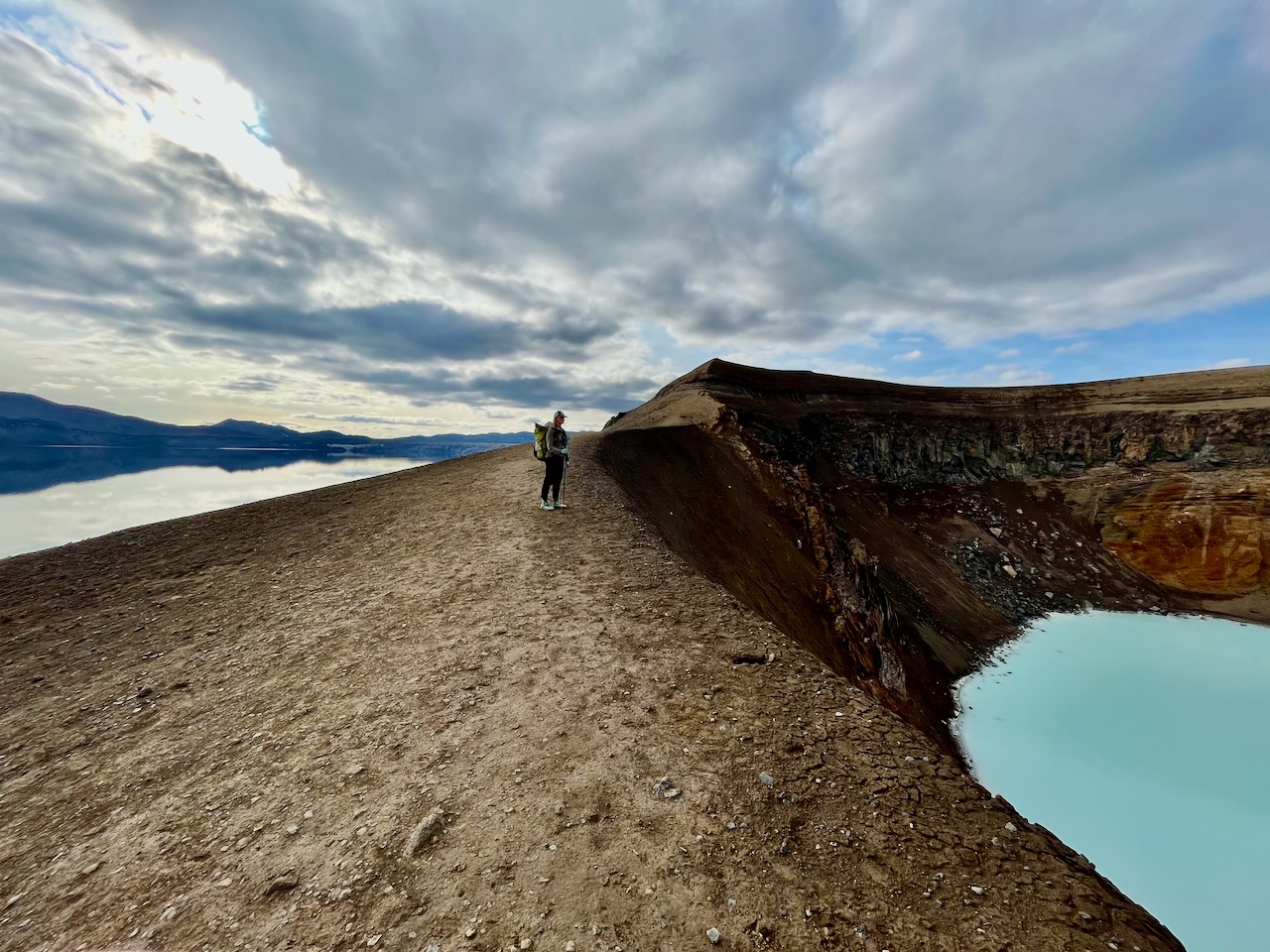
Between two lakes – Viti on the right and the much larger Öskjuvatn on the left.
- Covering approximately 11 km² (4.2 sq mi) and reaching a maximum depth of around 220 m (722 ft), Öskjuvatn is one of Iceland’s deepest lakes. It occupies a younger volcanic basin within the larger Askja caldera, formed during the historic eruptions of 1875. The ground continued to subside over the following four decades, and the resulting depression gradually filled with water to become the lake you see today.
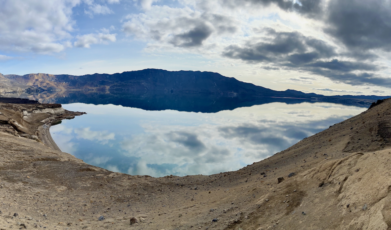
Öskjuvatn Lake
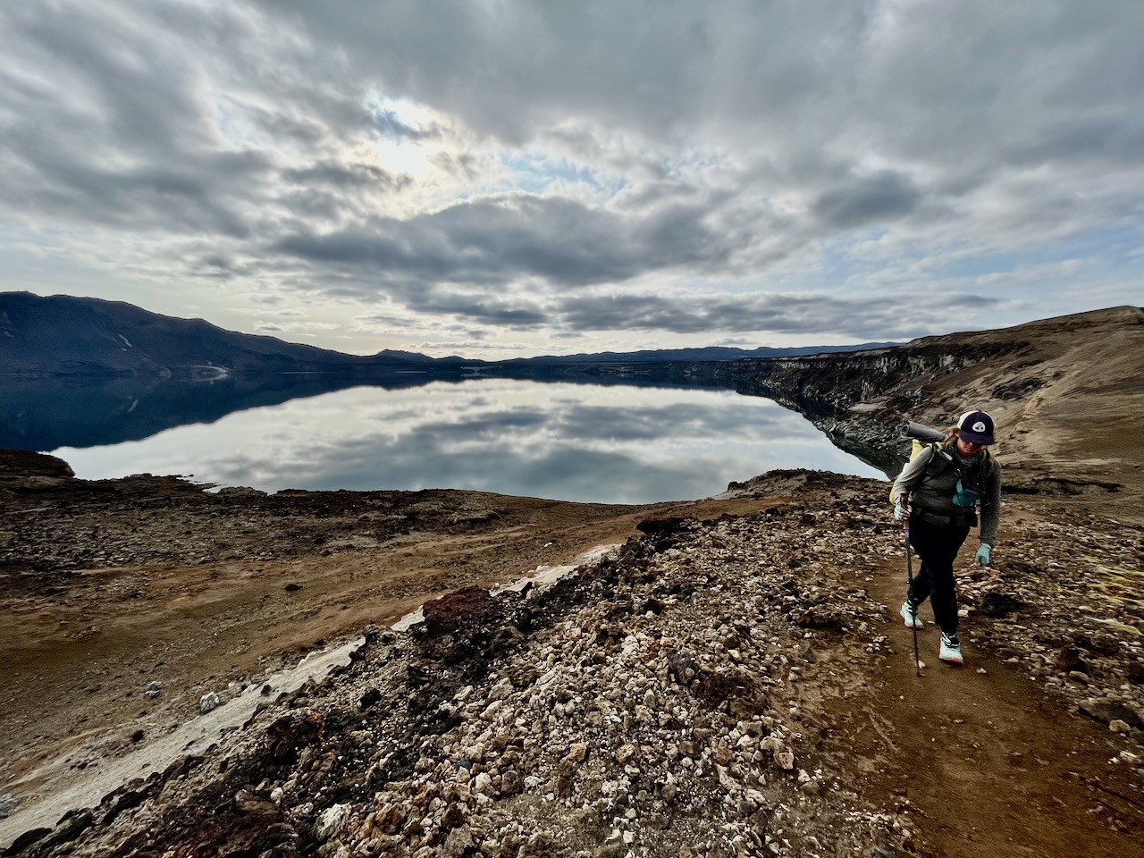
Making the ascent from Öskjuvatn Lake toward Dreki Pass.
- The area around Dreki and Askja has an interesting connection to the Apollo space programme. In 1965 and 1967, NASA brought groups of astronauts to Iceland for geological field training ahead of the lunar missions. The barren volcanic landscape was chosen for its striking resemblance to the surface of the Moon, making it an ideal setting for practising geological observations and collecting rock samples.
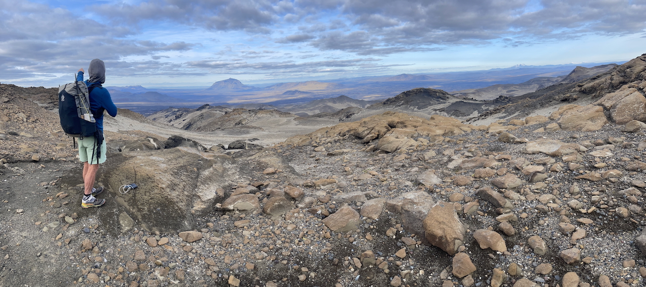
Gazing out from Dreki Pass (Note: Not sure if the pass between Öskjuvatn Lake and Dreki has another name that doesn’t appear on the map)(photo by Kate Pickett).
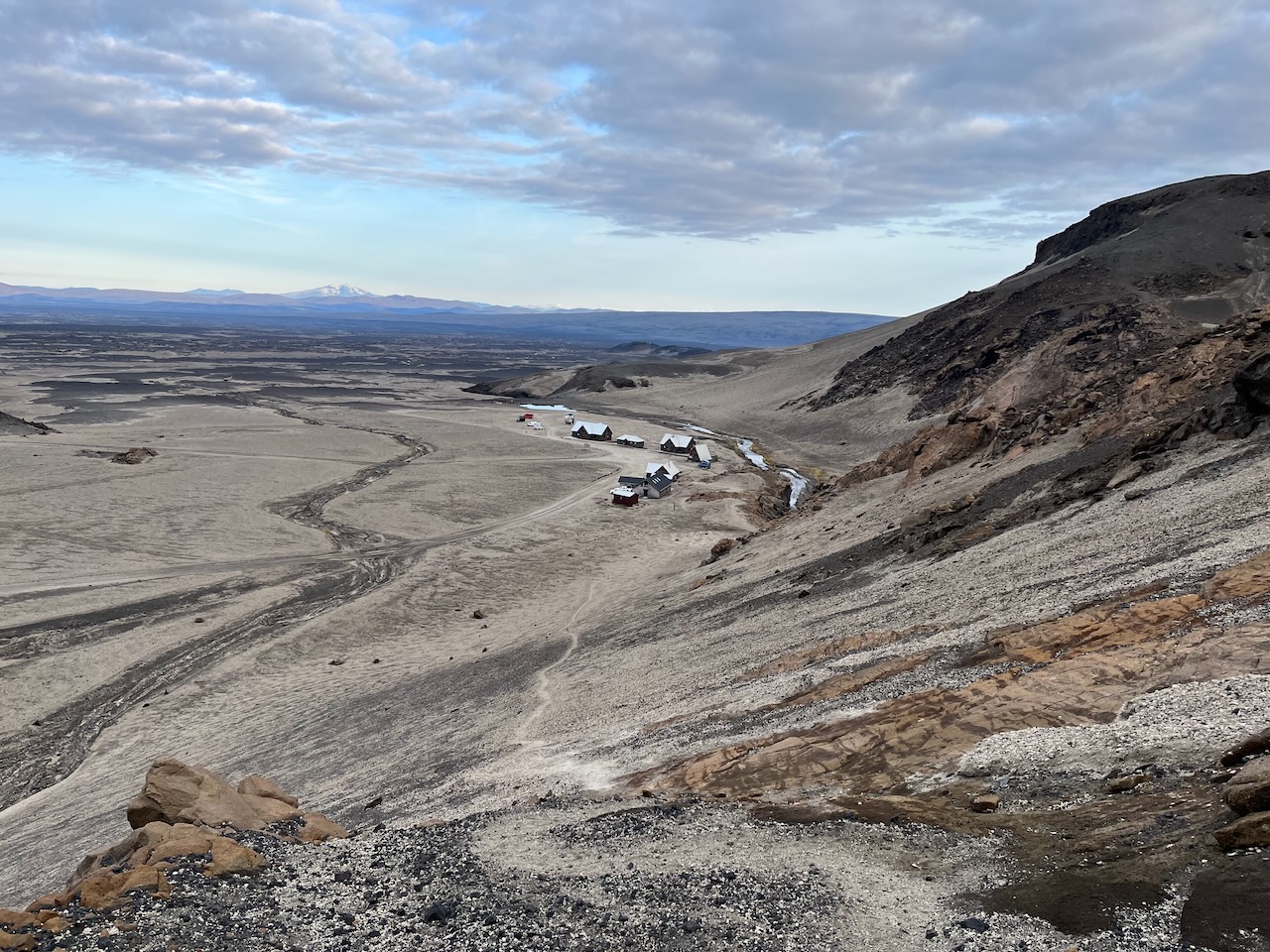
The final descent to Dreki.
- Upon arriving at Dreki, we collected our resupply boxes and set up camp behind one of the huts. It was a fairly windy night, with gusts reaching around 40 km/h (25 mph). That said, it was little more than a gentle breeze compared with the gale-force winds that lay ahead over the following days on Stage 4 towards Landmannalaugar.
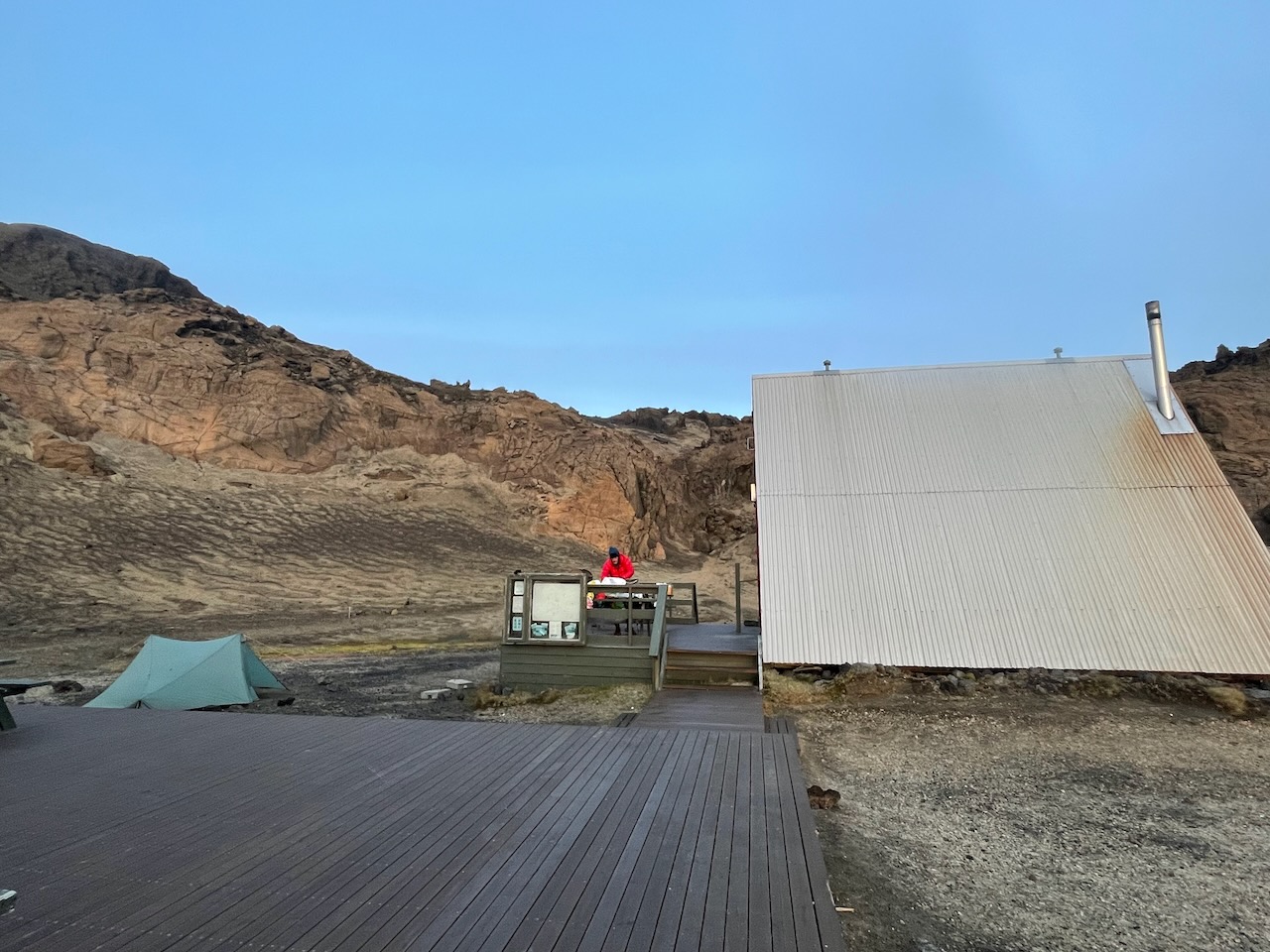
Brekky at Dreki on the back porch (photo by Kate Pickett).
(Note: The Iceland Traverse is one of the featured hikes in my book, Wanderlust Nordics: Exploring Trails in Scandinavia. For those interested, you can purchase a copy through Amazon, the Gestalten website, and other online retailers).
Related Posts
- A (not so) Quick & Dirty Guide to the Iceland Traverse (Stages 1 & 2)
- Hiking Hornstrandir: Into Iceland’s Most Remote Wilderness
- Gear List: Iceland Traverse
- 100 Classic Hikes around the World
Discover more from The Hiking Life
Subscribe to get the latest posts sent to your email.